Related news
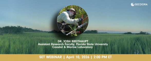
SET Webinar Series: Coastal Wetland Response in Apalachicola Bay
Join us on April 10, 2026, from 2:00 - 3:00 PM for the SECOORA SET Webinar Series, where we will explore coastal wetland change and monitoring in the Apalachicola Bay region. This webinar will bring together SET Community of Practice members and partners to examine monitoring approaches and implications for coastal resilience planning.

Funding Opportunity: Accepting Applications for 2026 Vembu Subramanian Ocean Scholars Award
Established in memory of Vembu Subramanian, this award supports the next generation of ocean professionals through mentorship, networking, and meaningful engagement at our Annual Meeting. Applications are due April 21, 2026.
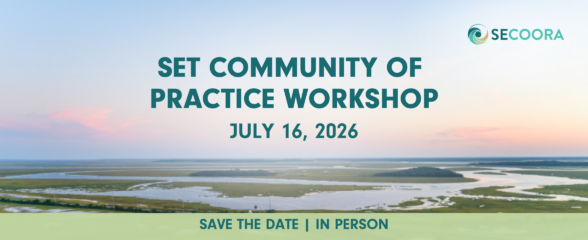
2026 SET Community of Practice Workshop
The SECOORA Surface Elevation Table (SET) Community of Practice will convene for its 2026 in-person workshop on July 16 – 17, 2026, in Charleston, South Carolina.