

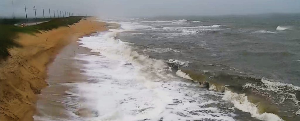
SECOORA’s 2019 Data Challenge Winners, Deanna Edwing and Kelsea Edwing from the University of North Carolina Wilmington, developed an algorithm to automatically identify maximum water-levels at hourly intervals from web camera footage in the Southeast.
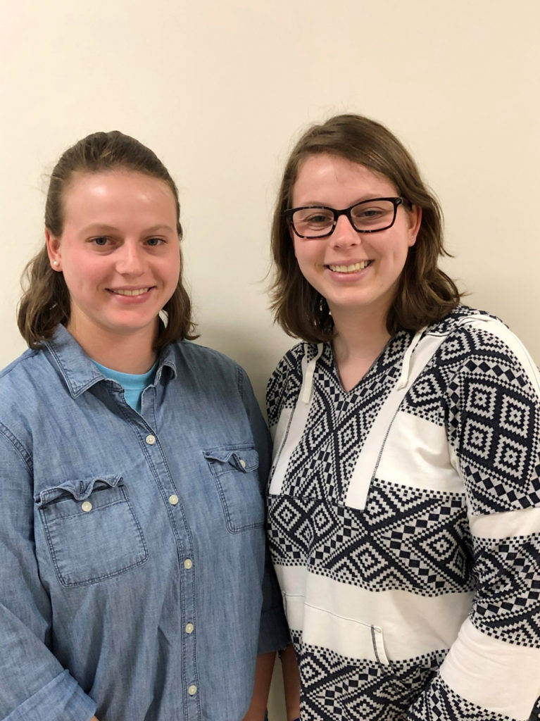
Deanna Edwing and Kelsea Edwing, University of North Carolina Wilmington
Sand dunes protect landward communities and infrastructure from elevated water levels during storm events. However, they are often eroded or overwashed during storms, exposing communities to higher vulnerability for future storms. Accurate models for wave run-up and dune erosion are needed to ensure coastal communities can be prepared for hazardous events. Unfortunately, data to validate these models is limited.
SECOORA’s 2019 Data Challenge Winners Deanna Edwing and Kelsea Edwing, University of North Carolina Wilmington, used Web Camera Applications Testbed (WebCAT) data to develop an algorithm to automatically identify maximum water-levels at hourly intervals from web camera data.
With this algorithm, modelers will no longer need to wait for data from the typical before-and after event surveying in order to validate their coastal hazard models. They will be able to determine if wave run-up reached or breached the dunes, how many times the water level reached the dune line, and the duration of the dune erosion event by using the algorithm.
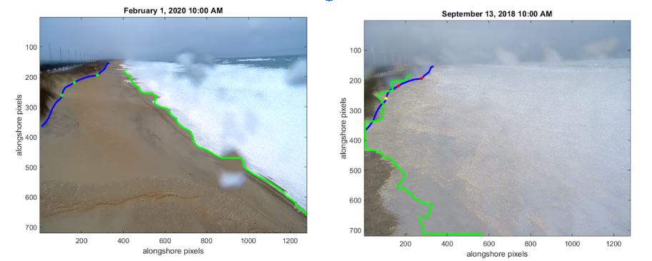
The algorithm employs two methods for verification and analyzation of a dune collision event. Pictured above is final product of both methods combined. The dune line in this image is shown by the blue line. The water line is the green line and corresponds to the maximum extent of wave run up during the video by analyzing the pixel brightness in the image. The green dots, in the left hand image, represent the absence of a dune-collision event at that location during that webcam video. In the right hand image, a yellow dot indicates that only one method marked a dune-collision event at that location. A red dot means that a dune-collision event was recorded by both methods at that location.
“This algorithm will provide a valuable method for quickly detecting the timing and duration of dune erosion events and providing additional validation data for coastal erosion models developed by the USGS, NOAA, and others.” – Deanna Edwing and Kelsea Edwing, University of North Carolina Wilmington
The algorithm is applicable to the large number of existing webcams along the coast which were originally intended for surf or weather monitoring. It uses publicly available webcam images/videos, thereby reducing the need for labor intensive camera surveying and image rectification.
“The type of algorithms, like the one Kelsea and Deanna have created, that can take videos from webcams already positioned along the coast and turn them into useful products are intended to support a wide range of coastal stakeholders that need more data to support the difficult decisions are faced with every day”, stated Joseph Long from University of North Carolina Wilmington. Dr. Long is the mentor on the project.
Along with the source-code, the GitHub page for the Detection of Maximum Water Levels To Monitor Dune Collisions project includes documentation and a step-by-step user guide available for unrestricted download. Users will need access to MATLAB software and certain toolboxes in order to run the scripts.
Related news

Spotlight: Mobilizing to Save Florida’s Coral Reefs
Learn how scientists are racing to save Florida's Coral Reef through coral rescue, gene banking, reef restoration, and innovative conservation efforts after disease and marine heatwaves devastated one of America's most important marine ecosystems.
From a Whale’s Song to an Ocean’s Symphony: How AI Decodes Underwater Sound
Explore how SECOORA-funded research is using AI and machine learning to decode ocean soundscapes, detect boat noise, and support coral reef restoration efforts.
Rebuilding the Future: USF’s College of Marine Science Recovers from Historic Blaze One Day at a Time
Following a devastating fire at USF’s Marine Science Lab, researchers rally to salvage decades of critical data and maintain vital ocean monitoring.