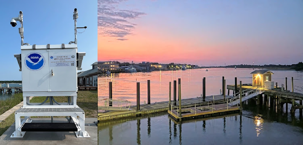
In August 2024, NOAA’s Center for Operational Oceanographic Products and Services integrated coastal webcam imagery into the Coastal Inundation Dashboard! This new feature is the result of a partnership with the Southeast Coastal Ocean Observing Regional Association (SECOORA). The webcams are part of SECOORA’s Webcam Coastal Observation System (WebCOOS), a coastal webcam network that monitors real-time coastal environmental conditions.
Why Webcams?

Webcams are a low-cost technology transforming the way we observe our coasts. Video data are being used for a variety of applications including coastal research, preparedness and risk reduction, coastal resource management, and transportation and commerce. SECOORA launched the WebCOOS network in 2020 to provide quantitative scientific analysis, public safety, and resource management for coastal municipalities. The project is funded by a NOAA Ocean Technology Transition grant, and includes cameras co-located at several NOAA tide gauges installed in partnership with CO-OPS.
Bringing CO-OPS Data to Life
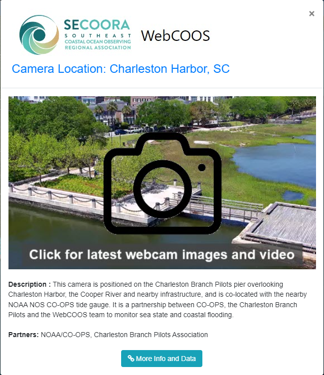
CO-OPS integrated 17 of the WebCOOS webcams into its Coastal Inundation Dashboard, a decision-support tool that allows users to monitor water levels at NOAA water level stations in real-time. The webcams are largely located in the Southeast U.S., but are also available at Corpus Christi, TX, Holland, MI, Santa Cruz, CA, Point Reyes, CA and Waikiki Beach, HI. The integration of the webcams into the dashboard allows users to quickly visualize real-time flooding impacts while they monitor water levels during a coastal flooding event.
“I am thrilled that we are partnering with SECOORA to enable access to web camera imagery, especially to the ‘cams at our water level gauges. The imagery provides our users with critical situational awareness that augments what our sensors are telling them. I’m also very pleased that our platforms can support the many research goals of the WebCOOS network, from using artificial intelligence to detect dangerous rip currents to monitoring coastal erosion. This is a real win-win for NOAA.”
— Dr. Marian Westley, CO-OPS Director
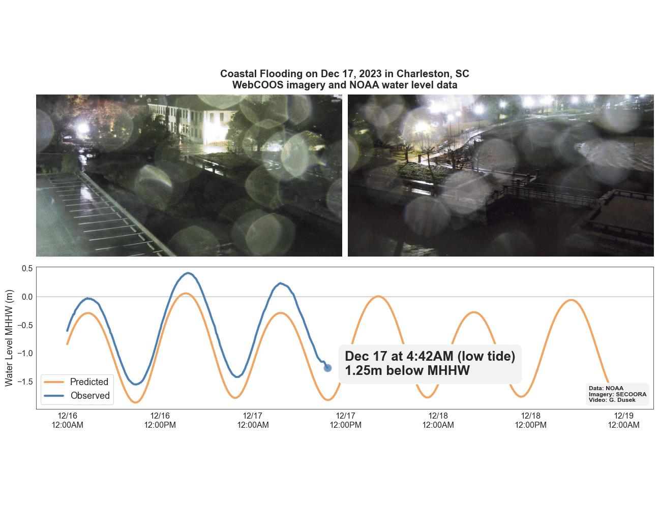
This new feature improves upon the static impact graphics already included in the Dashboard and is helping bring CO-OPS data to life. For example, during a powerful nor’easter in December 2023 CO-OPS’ station at Charleston, SC measured major flooding, while the nearby WebCOOS webcam observed the dramatic rise in water levels. Click on the image below to see a video showing how the water level data and webcam imagery came together to capture the flooding:
Expanding the WebCOOS Network
Over the coming years, SECOORA plans to expand the WebCOOS network from the Southeast U.S. to more locations across the Nation, through funding support provided by NOAA IOOS’ Ocean Technology Transition grant program and the Inflation Reduction Act. As the network expands, CO-OPS looks forward to integrating more webcams into the dashboard to help users better monitor and respond to coastal flooding impacts.
“Partnering with CO-OPS to include WebCOOS cameras in the Coastal Inundation Dashboard will give coastal communities valuable visual context to accompany the water level data, allowing them to see flooding impacts firsthand.”
– Debra Hernandez, SECOORA Executive Director
Access the Dashboard and Web Cameras
To view CO-OPS water level data alongside the real-time, WebCOOS imagery visit NOAA’s Coastal Inundation Dashboard. To view all webcams currently streaming in real-time, visit the WebCOOS website.
Related news
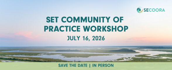
2026 SET Community of Practice Workshop
The SECOORA Surface Elevation Table (SET) Community of Practice will convene for its 2026 in-person workshop on July 16 – 17, 2026, in Charleston, South Carolina.
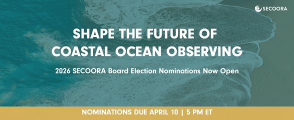
Board Nominations Now Open
Nominations are now open for the 2026 Board of Directors election. Help shape the future of coastal ocean observing by submitting materials by April 10, 2026 at 5 PM ET.
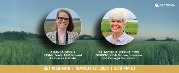
SET Webinar Series: Partner Spotlight on the South Atlantic Salt Marsh Initiative
Join us on March 27, 2026, from 2:00 - 3:00 PM (ET) for the SECOORA SET Webinar Series where they will spotlight South Atlantic Salt Marsh Initiative (SASMI). This webinar will bring together SET Community of Practice members and partners to explore SASMI’s regional approach to salt marsh conservation and the role of scientific data in supporting restoration and coastal...