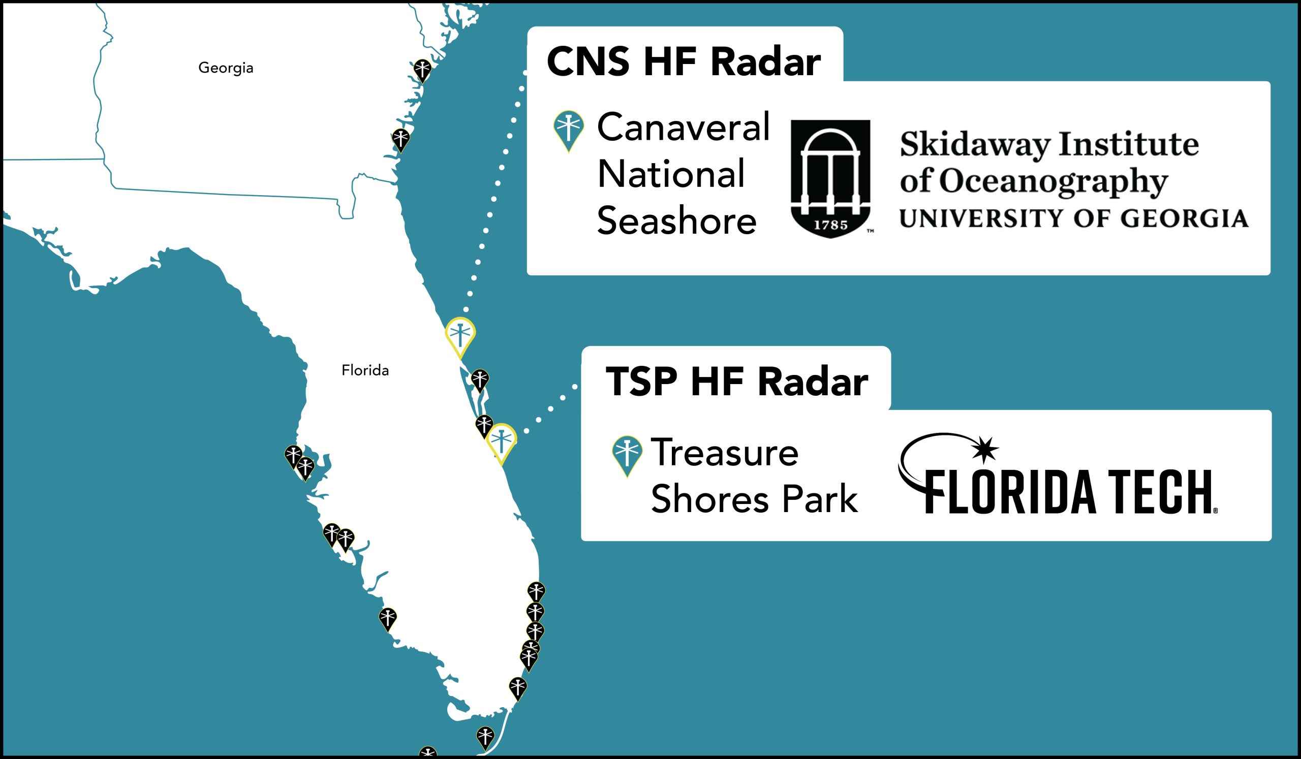
Two new High Frequency Radars (HF radar) were installed on the east coast of Florida. The new HF radars are filling gaps in surface current monitoring; the data for which is used to assist in search and rescue efforts (see guest editorial story “Oceanographer: Tech might have saved teens lost at sea”).
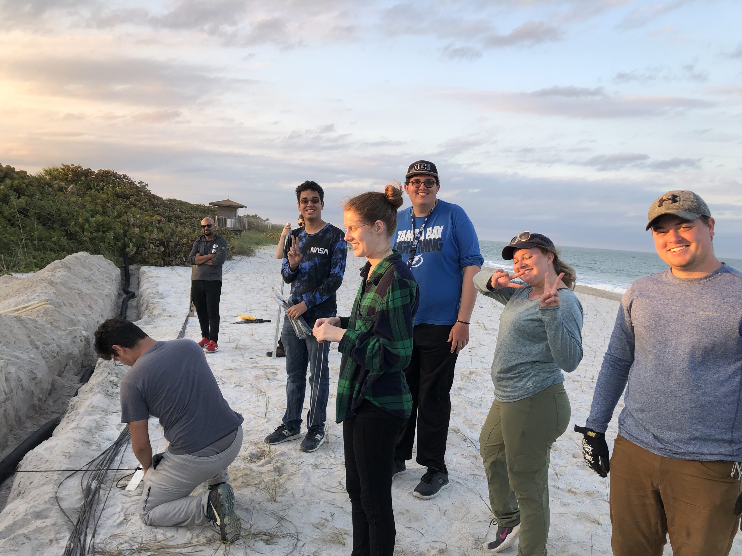
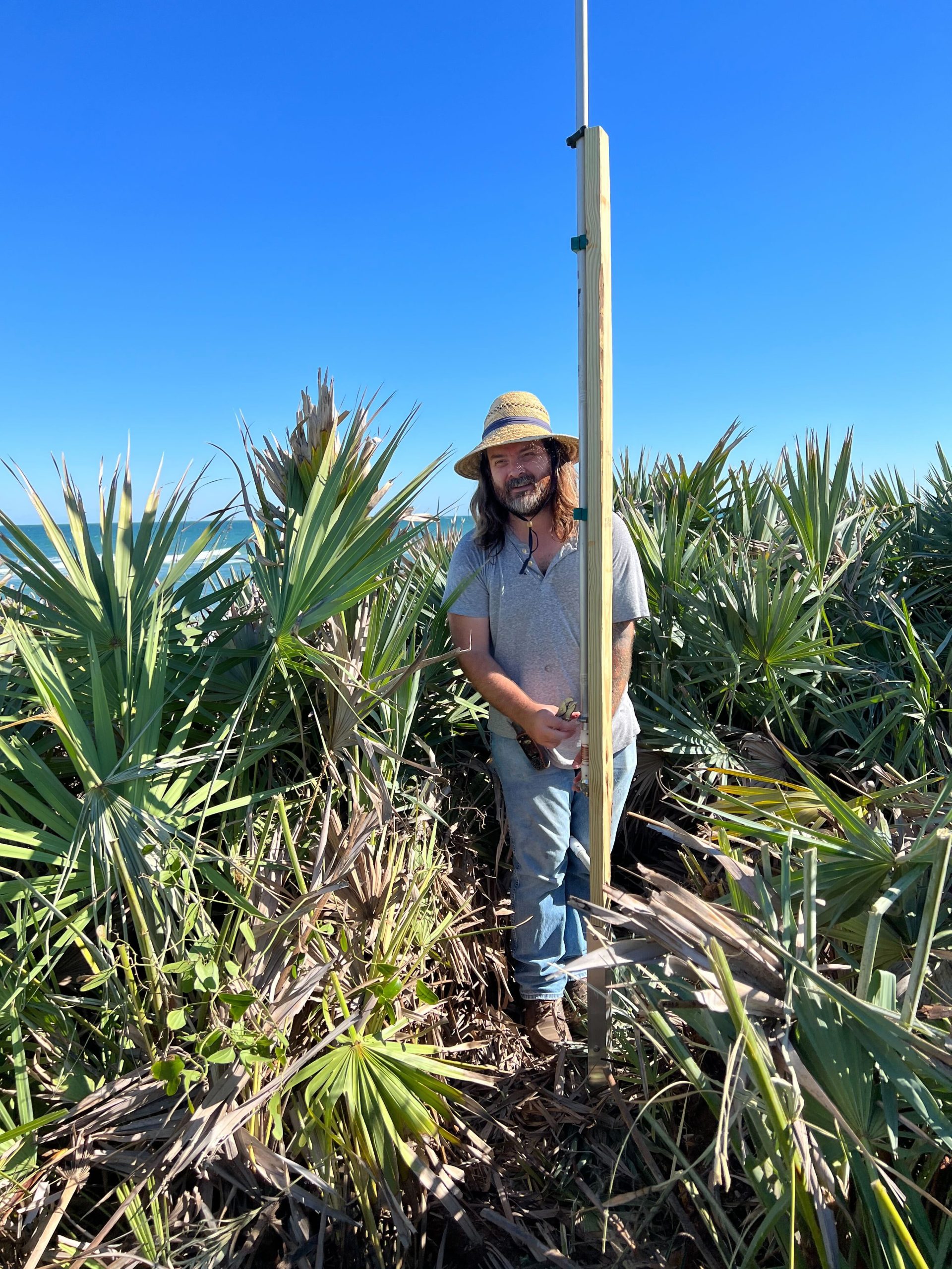
The first HF radar is located at Canaveral National Seashore and was installed by University of Georgia’s Skidaway Institute of Oceanography (UGA SkIO). The second HFR was installed at Treasure Shores Park in Vero Beach, FL and is being operated by the Florida Institute of Technology (FIT).
Two more HF radar will be installed by the end of 2022 in Florida; one by UGA SkIO at Kennedy Space Center and another by FIT at Hightower Beach Park, pending environmental assessment. By the end of 2022, the four new HFR will provide surface current mapping from Cape Canaveral to Vero Beach, extending 150-200 nautical miles offshore.
The surface current data will be provided for high boater traffic areas along the central Florida coast as well as Oculina Bank (a 90 mile stretch of Oculina coral reef that provides critical habitat for many marine fish species).
Click here to see SECOORA HFR locations.
What are High Frequency radars?
HF radar transmits radio signals across the ocean. These radio signals bounce off of ocean waves and signals are scattered back to the coast where they get picked up by the radar’s receive antennae. The returned signals are analyzed to estimate surface current speed and direction.
Why collect surface current data?
HF radar are land-based systems that measure the speed and direction of ocean surface currents in near real-time. Surface currents can move objects in the ocean such as boats, marine debris, and nutrients.
The data collected by HF radar has many uses, including U.S. Coast Guard search and rescue mission planning and oil-spill response efforts. Scientists and resource managers use the surface current data to track harmful algal blooms and marine debris and to better understand ocean transport of larval fish, plankton, and nutrients.
In east-central Florida, the HF radar location is designed to include the Oculina Bank (named after a slow-growing ivory tree coral species Oculina varicosa). Oculina Bank was originally designated as a Habitat of Particular Concern (HAPC) in 1984. Since then, the original 23 nautical mile long segment has been expanded twice and now stretches more than 130 nautical miles. The Bank comprises critical habitat, portions of which are closed to fishing and bottom trawling.
HF Radar Integral to Coastal Ocean Observing Systems
HF radar networks form the backbone of many coastal ocean observing systems. It’s broad range of uses is the reason that the National Oceanic and Atmospheric Administration (NOAA) Integrated Ocean Observing System (IOOS®) invests in a national network of HF radar. SECOORA operates a growing network of HF radars in the Southeast. 18 HF Radar are currently deployed from NC to the Gulf coast of Florida and 2 more HFR will be installed on the east coast of Florida by late 2022.
The new HF radars in Florida were funded by IOOS, through SECOORA as part of a national effort to close gaps in HF radar coverage along the east coast of the U.S.
Related news
GCOOS - SECOORA Joint Webinar Series: Building Synergy Across the US MBON & Ocean Acidification Networks
The GCOOS - SECOORA Webinar Series aims to strengthen collaborations across the Marine Biodiversity Observation Network (MBON) and regional Ocean Acidification Networks (GCAN and SOCAN).

New High Frequency Radar at the Dry Tortugas National Park Improves Ocean Surface Current Measurements Across the Straits of Florida
A new CODAR Low-Power SeaSonde HFR has been deployed by the University of South Florida at Fort Jefferson on Garden Key to measure surface currents to improve understanding and prediction of the Gulf of Mexico Loop Current.

President Biden Proposes Significant Budget Cuts to IOOS for 2025
President Biden’s recent 2025 budget proposal slashed the funding allocated for the Integrated Ocean Observing System (IOOS) by 76%, which would effectively shut down coastal and ocean observing efforts.