

Ches (William) Vervaeke’s journey with Surface Elevation Tables (SETs) began more than twenty years ago. Since then, Ches has installed more than 150 SET stations across North America and Central America. Today, he is helping SECOORA answer an important question: Are our marshes gaining elevation?
Scientists use SETs to measure whether the surface of a marsh is rising, sinking, or staying about the same over time. But there is an important piece of the puzzle: the benchmark used to take these measurements can also move up or down as the ground beneath it shifts.
That is where Global Navigation Satellite System (GNSS) technology comes in. GNSS uses satellites to precisely measure the location and elevation of a monitoring station. Funded by SECOORA, Ches and his team are using GNSS to measure 21 SET benchmarks in the Southeast.
By establishing a precise starting point for each benchmark, scientists can better understand whether changes they see are happening at the marsh surface or are caused by movement of the ground beneath the benchmark. This baseline will improve future comparisons among sites and strengthen regional assessments of marsh resilience, restoration performance, and coastal vulnerability.
Meet Ches Vervaeke: The Scientist Behind the Measurements

Ches’s journey with SETs traces back to the early days of the technology itself.
In 2003, while working for the U.S. Geological Survey, he had the opportunity to learn SET installation and monitoring from James Lynch, one of the original designers of the rod Surface Elevation Table (rSET). At the time, he could not have known that this technology would become the foundation of much of his professional career.
The following year, in 2004, Ches participated in his first SET installations as part of a collaborative effort involving some of the leading wetland scientists of the time, including Don Cahoon, Karen McKee, and Jim Grace. They installed twelve SET stations at Big Branch Marsh National Wildlife Refuge and the Pearl River Wildlife Management Area in coastal Louisiana, followed by eighteen additional stations at McFaddin National Wildlife Refuge in Texas.
These early installations were physically demanding and far removed from the methods often used today. Every benchmark rod was driven by hand using a fence-post pounder until refusal was reached in the underlying sediments. Reaching stable depths often required fifteen to seventeen rods per benchmark.
The work was challenging, but it provided something even more valuable: a firsthand understanding of the science, engineering, and dedication that had gone into developing a tool capable of measuring elevation change with millimeter precision.
What began as a field assignment quickly became a passion.
Two Decades of Measuring Changing Wetlands

Over the next two decades, Ches had the opportunity to work alongside many of the scientists responsible for advancing wetland
elevation monitoring across the United States. He conducted high-precision elevation surveys with Charles Geoghegan of NOAA’s National Geodetic Survey and helped expand monitoring networks throughout the Gulf Coast and beyond.
His work eventually took him far beyond those first marshes in Louisiana. He installed and monitored SETs in Panama and Belize and throughout the Gulf Coast from Texas to southwest Florida. He spent years collecting long-term data in the Everglades and helping scientists understand how wetlands respond to sea-level rise, subsidence, storms, and changing environmental conditions.
Perhaps most meaningful was the opportunity to work at the USGS National Wetlands Research Center in Lafayette, Louisiana, the birthplace of modern SET technology. There, he calibrated and operated SETs on the original benchmark used during the development of the technique.
For someone who had learned directly from the individuals who built the program, it felt like standing at the source of a scientific legacy that continues to influence coastal monitoring around the world.
From Early SETs to Today’s Coastal Monitoring
As his experience grew, so did Ches’s involvement in advancing the technology. He modified SET designs for specialized applications and developed a five-meter, 112-pin SET system for monitoring a thin-layer placement study in coastal Louisiana.
Throughout this work, he remained focused on one goal: improving our ability to understand how coastal wetlands change over time.
That commitment continued when he joined the National Park Service. There, he established and monitored a network of 42 SET stations stretching from Cape Hatteras, North Carolina, to Cape Canaveral, Florida. Over five years, these stations generated critical information on wetland resilience across some of the Atlantic Coast’s most dynamic ecosystems.
Today, Ches has installed more than 150 SET stations across North America and Central America and has spent more than two decades working with one of the most important tools available for understanding how wetlands respond to sea-level rise.
Bringing That Experience to the Southeast
Ches founded First Coast Ecological Services on a simple idea: the need for high-quality, field-based coastal science has never been greater.
As sea levels continue to rise and coastal communities face increasing environmental challenges, long-term monitoring data are essential for making informed management decisions.
In many ways, Ches’s career has been shaped by the people who created and refined SET technology. Today, he views his role as carrying that legacy forward through the continued collection of high-quality coastal monitoring data, helping others build and maintain successful monitoring programs, and sharing the knowledge passed down to him by the pioneers of the field.
It is a responsibility Ches values deeply and one that continues to inspire his work today.
Supporting the SET Community
Wetland science depends on people, not just data. Scientists, resource managers, and coastal practitioners across the region rely on shared knowledge, long-term monitoring, and connections with others doing the same work.
SECOORA supports the Surface Elevation Table Community of Practice (SET CoP), connecting people who work with SETs to share knowledge, data, and best practices for monitoring coastal wetland elevation.
Want to help? Become a SECOORA Impact Partner. Your support strengthens the networks and partnerships that help communities understand and prepare for a changing coast.
Related news
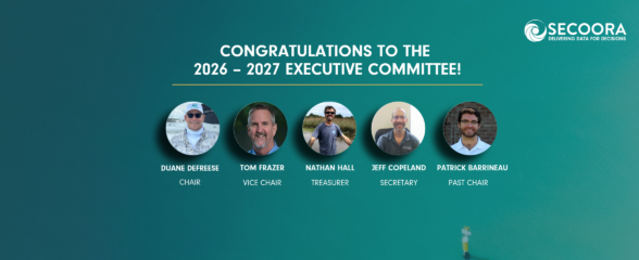
Meet SECOORA’s 2026-2027 Executive Committee
Meet SECOORA’s 2026-2027 Executive Committee, five leaders in marine science, coastal engineering, and weather who guide ocean observing in the Southeast.

Investing in People and Communities Across the Southeast
SECOORA begins its 4th five-year award from U.S. IOOS to continue coastal and ocean monitoring across the Southeast.
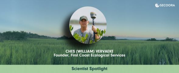
Meet the Scientist Helping Answer: Are Our Marshes Gaining Elevation?
Meet Ches Vervaeke, the scientist bringing 20+ years of Surface Elevation Table expertise to SECOORA's marsh elevation monitoring work in the Southeast.