SECOORA is thrilled to announce the winners of the Enhancing Regional Ocean Sharing Data Request for Proposals.
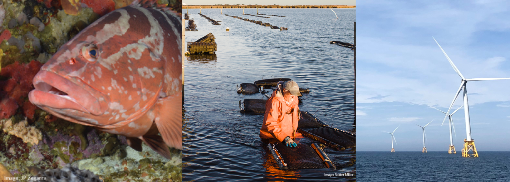
SECOORA will be funding three projects this year that use state and regional geospatial data to enhance marine management practices. One project will create a web tool to illustrate species diversity and distribution with acoustic telemetry data to aid in coastal management. Another will synthesize data to understand water quality trends in shellfish habitats. The third project will develop an online tool to support stakeholder engagement in offshore wind energy development.
Learn about the projects below.
Incorporating Acoustic Telemetry Data Into Coastal Management
“Researchers in the FACT Network are tracking over 2,500 animals, from green sea turtles to tiger sharks, along the Southeast U.S. coast and Bahamas. Our aim is to harness all that information and make it available to the public through an interactive web application— making science usable, and accessible. With a great team of scientists and developers, the support of SECOORA, and input from natural resource managers and teachers, we are creating a first-of-its kind dynamic tool to help the conservation and management of our oceans.”
Project Abstract
The FACT Network uses acoustic telemetry and other technologies to better understand and conserve our region’s important fish and sea turtle species. Acoustic telemetry is an increasingly useful resource, however, few analytical tools exist to transform the data into usable outputs. This project will build a data visualization tool based on FACT Network observations to illustrate changes in marine species diversity over time.
The project will increase the accessibility and application of telemetry data by allowing end-users to drive the product design. Dr. Joy Young, FACT Network, and her team will collaborate with educators, fisheries managers, and scientists to identify the features that will make the web map useful for classroom education and fisheries assessments. It will be hosted on the SECOORA website and provide management-designed data products to regional, local, state, and federal managers.
Creating ‘ShellBase’, The Southeast Shellfish Water Quality Database
“At the NC State Biosystems Analytics Lab, our team will be working with state shellfish sanitation programs to identify opportunities to enhance data sharing and develop “ShellBase,” a database that synthesizes historical water quality data from shellfish waters across the South Atlantic. We’re really excited to have the opportunity to bring together data from different states so we can better understand water quality trends in shellfish growing areas.”
Project Abstract
Individual states across the Southeast collect water quality data to monitor shellfish habitats, but a lack of standardization across datasets makes monitoring long-term environmental trends difficult. Dr. Natalie Nelson, North Carolina State University, and her team will synthesize bacteriological monitoring data from North Carolina, South Carolina, Georgia, and Florida in a single location online called ShellBase. Using standardized database and metadata structures, ShellBase will offer an accessible record of bacterial water quality data for the Southeast’s shellfish waters.
Integrating disparate water quality datasets will allow researchers, regulators, consulting firms, and nonprofits to gain new insights on bacterial water quality trends and develop more robust predictive models. ShellBase will be published online via the SECOORA Data Portal and its widespread accessibility will further facilitate knowledge sharing among stakeholders.
Increasing access to regional ecological data to help inform offshore ocean use decisions: Analysis and Visualization of Ocean Resources in the Context of Offshore Wind Energy Development
“SECOORA’s Enhancing Regional Ocean Data Sharing funding enables The Nature Conservancy to extend an online Offshore Wind Energy tool from the Northeast and Mid-Atlantic to the Southeast. Working with partners, our project will leverage regional-scale marine life and habitat data in federal waters to provide context when making decisions around wind energy development and other select offshore uses.”
Project Abstract
Proposed offshore marine projects, such as wind energy sites or sand dredging for beach nourishment, have the potential to impact marine species and habitats across the South Atlantic region. To sustain the South Atlantic’s rich marine diversity, it is important to capture the impacts related to siting, construction, and operation of any offshore development or dredging project. Data needed for environmental impact statements is often hard to find and effectively analyze. The goal of this project, led by Co-Principal Investigators Mary Conley and Marta Ribera from The Nature Conservancy, is to develop a decision support tool so stakeholders can easily query and visualize all available ocean data. This data can then be incorporated into impact analyses to better inform decision making.
The team will create a single platform containing regional data sets needed by stakeholders. A steering committee comprised of state coastal zone management programs, state and federal agency managers, academic partners, and NGOs will provide guidance to the project team. The outputs of this work will be made available through an online mapping tool and can be incorporated into existing state and regional portals.
Related news
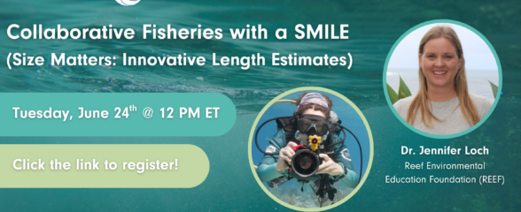
SECOORA Webinar: Collaborative Fisheries with a SMILE (Size Matters: Innovative Length Estimates)
On Tuesday, June 24th at 12 PM ET, Dr. Jennifer Loch from Reef Environmental Education Foundation (REEF) will discuss the SMILE (Size Matters: Innovative Length Estimates) project as part of SECOORA's Coastal Observing in Your Community Webinar Series.
Funding Cuts to NOAA IOOS Will Hurt the Southeast
Proposed federal funding cuts would eliminate the IOOS Regional Observations budget for next year. Contrary to the budget Congress has already approved for this year, the Executive Branch wants these proposed cuts to go into effect in 2025.
SECOORA Webinar on the Rapid Intensification of Hurricane Ian: Warm Subsurface Water on the Wide Continental Shelf
Join us Thursday, April 24th at 12 PM ET for the April installment of the SECOORA Coastal Observing in Your Community Webinar Series! This month, we will hear from Dr. Yonggang Liu from the University of South Florida. He will discuss his research on the rapid intensification of Hurricane Ian in relation to anomalously warm subsurface water on the wide...
