News
News
January 28, 2023
Help Us Identify Coastal Acidification Monitoring Needs With This Short Survey
SECOORA invites all members and stakeholders to participate in this short 10-minute survey to help us identify coastal acidification areas of concern. The results will directly inform the Interagency Working Group on Ocean Acidification’s (IWGOA) upcoming call for information on priority monitoring needs.
News
January 25, 2023
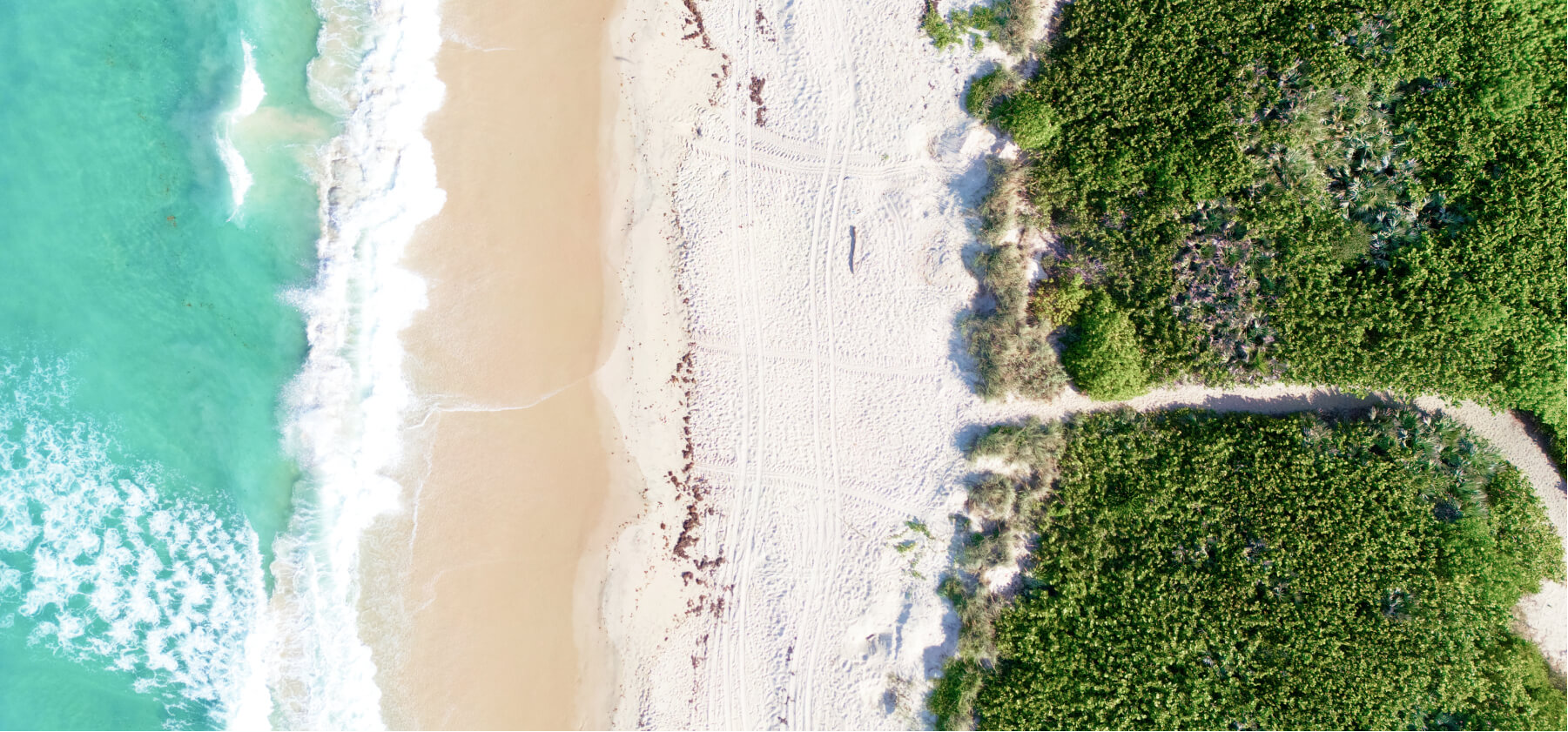
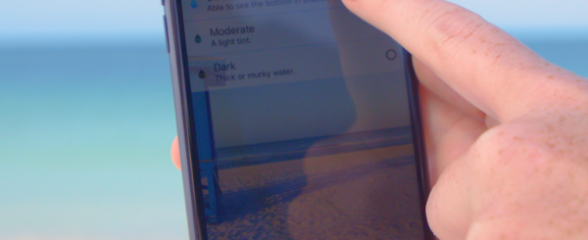
Heading to the Beach? Check for Safe Conditions Using These Websites
Check out these free online decision-support tools that provide data on the health and safety of beaches and coastal waters in the Southeast.
News
January 18, 2023
Camera Footage of Marine Mammal Releases Available to View on WebCOOS
Video data of marine mammal releases by The Marine Mammal Center in Point Reyes National Seashore (California) is now available on WebCOOS.org.
News
January 13, 2023
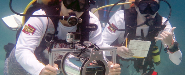
Volunteer Divers Use Latest Camera Technology to Provide Fisheries Data
The SMILE project involves volunteer divers, innovative underwater camera technology, and the expansion of a citizen science approach to collect length data for reef fish in the South Atlantic. The new data sources will be incorporated into stock and ecosystem assessment processes.
News
January 3, 2023
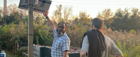
Partnering for Coastal Community Monitoring Programs
SECOORA is collaborating with community partners and working alongside historically underrepresented groups in the establishment of coastal community monitoring programs and decision-support tools. In December 2023, SECOORA Board members participated in a field trip to learn about SECOORA efforts with the Rosemont Community in South Carolina (pictured).
Impact
December 20, 2022
Meet 2022 NOAA Hollings Scholar – Anna Finch
Anna Finch's project focused on the investigation of phytoplankton dynamics in the Florida Keys. She also had the opportunity to participate on research cruises to get a behind the scenes view of ocean observing. Mentors for this internship are Dr. Frank Muller-Karger (USF CMS), Dr. Digna Rueda-Roa (USF CMS), and Gabrielle Canonico (US IOOS).

News
December 15, 2022
Happy Holidays and Thank You
Thank you for being a part of the Southeast Coastal Ocean Observing Regional Association! We appreciate your partnership and look forward to working together in the New Year.
News
December 14, 2022
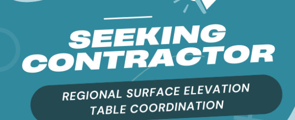
Seeking Contractor: Regional Surface Elevation Table Coordination
SECOORA is seeking a contractor to provide coordinator services including 1) develop an inventory of existing Surface Elevation Tables (SETs); 2) conduct a SET gap analysis; and 3) develop and foster a SET Community of Practice, including facilitating a workshop and virtual meetings and developing web content.
News
November 29, 2022
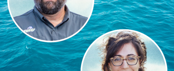
Meet the Winners of the Harmful Algal Bloom Request for Proposals
SECOORA is excited to announce the two winners of the SECOORA 2022 Harmful Algal Bloom (HAB) Request for Proposals. Both projects aim to improve water quality monitoring and gain an understanding of the conditions that allow HABs to form and thrive in the Southeast.
Impact
November 26, 2022
Meet the 2022 Data Challenge Winners
SECOORA is honored to announce the 2022 Data Challenge winners. The 2022 Data Challenge focused on developing a project that combines multiple Southeast datasets to understand a coastal ocean event.