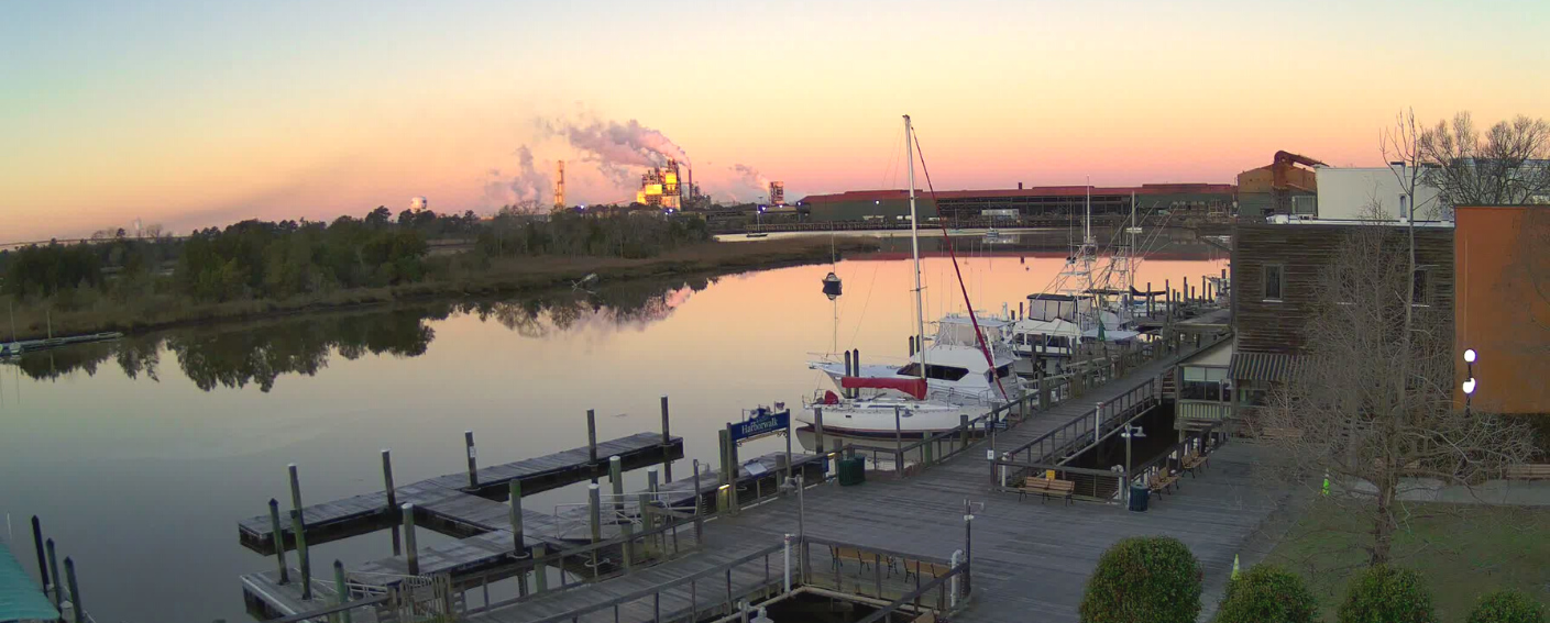
Featured datasets

Claire McGrath Joins SECOORA as Program and Development Manager
SECOORA welcomes Claire McGrath as Program and Development Manager, supporting the Southeast & Caribbean Coastal Disaster Resilience Partnership and membership growth.

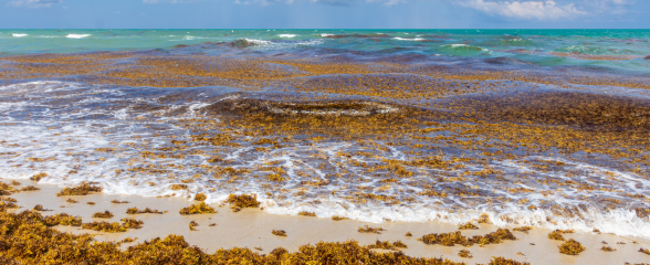
Spotlight: Mobilizing to Save Florida’s Coral Reefs
Learn how scientists are racing to save Florida's Coral Reef through coral rescue, gene banking, reef restoration, and innovative conservation efforts after disease and marine heatwaves devastated one of America's most important marine ecosystems.

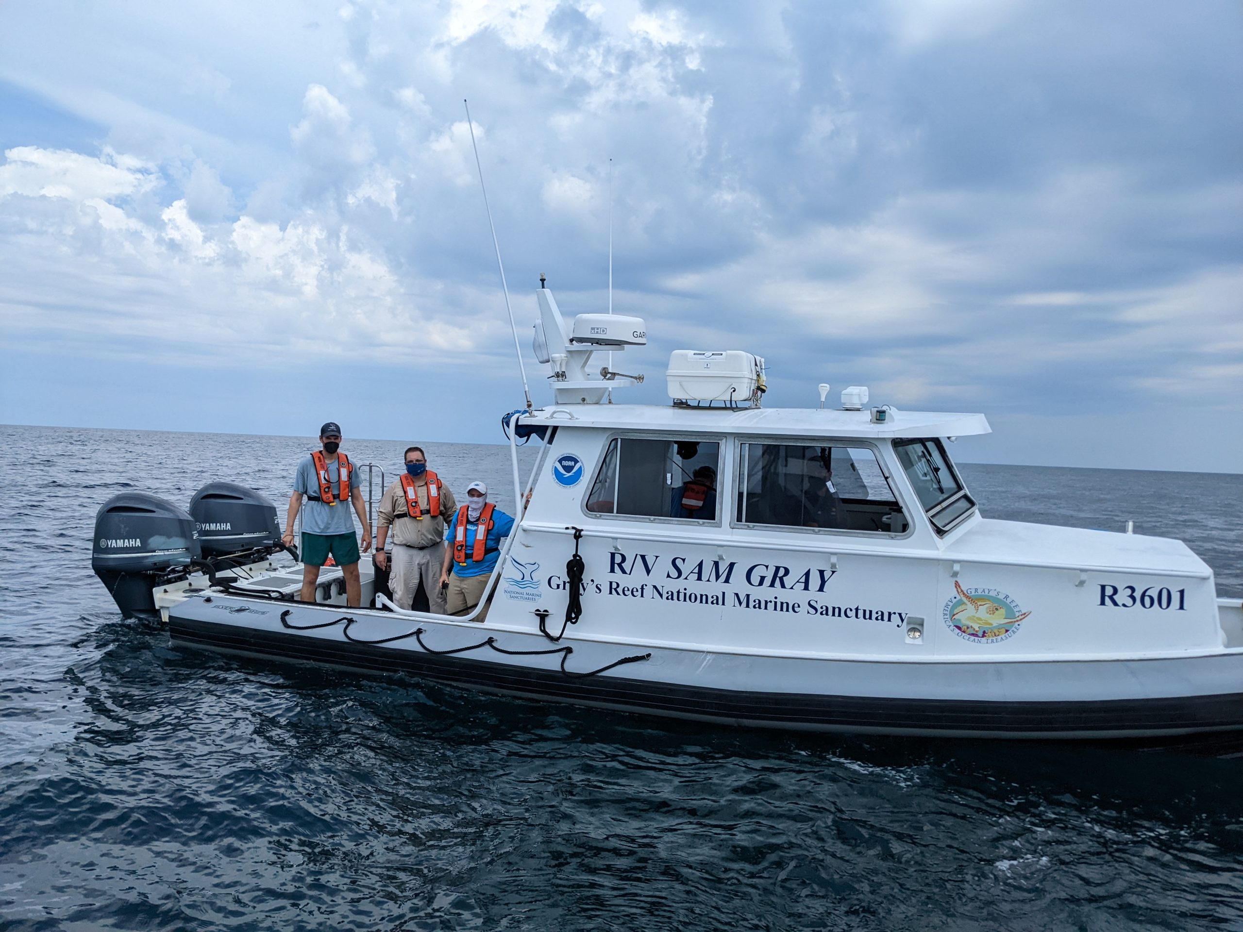
From a Whale’s Song to an Ocean’s Symphony: How AI Decodes Underwater Sound
Explore how SECOORA-funded research is using AI and machine learning to decode ocean soundscapes, detect boat noise, and support coral reef restoration efforts.
Model and Gridded data
Model and gridded data are served by the THREDDS server and time-series data by the ERDDAP server. ERDDAP documentation is available - button right. These services are particularly useful for machine to machine data access.
ERDDAP (the Environmental Research Division's Data Access Program)
Is a data server that gives you a simple, consistent way to download subsets of scientific datasets in common file formats and make graphs and maps. This particular ERDDAP installation has oceanographic data (for example, data from satellites and buoys).
THREDDS
Lorem ipsum dolor sit amet consectetur. Posuere nunc eu et ac. Pharetra eu diam facilisis proin volutpat lobortis id eu. Suspendisse egestas massa eget vitae dictum. Interdum nisl leo egestas eu ultrices fames tempus. Odio viverra arcu erat sagittis placerat molestie. Posuere nullam nibh eget facilisis.