Web Cameras Capture Impacts from Powerful Nor’Easter
A low pressure storm system brought excessive rainfall and coastal flooding to the Southeast on December 17th. Web cameras stationed in Charleston, South Carolina and Oak Island, North Carolina captured some of the shocking impacts from this Nor’easter.
On December 17th, a low pressure system developed in the Gulf of Mexico and traveled Northeast across the Florida peninsula to the Atlantic coast. The storm continued to strengthen as it approached the Carolinas, bringing coastal flooding, dangerous marine conditions, flash flooding, and strong wind gusts. Meteorologists call this type of storm a Nor’easter, which is a term used to categorize winter storms that develop in the Southeast with a Northeast trajectory. These storms typically occur between September and April, and can cause extensive damage.
SECOORA and its partners (including University of South Carolina, University of North Carolina Wilmington, University of California Santa Cruz, NOAA CO-OPS, USGS, and USACE) operate the Webcam Coastal Observation System (WebCOOS) with funding from NOAA. WebCOOS streamlines collection, storage, and access of coastal webcam imagery, and enables image analysis and development of products that can be used for decision making, including products related to shoreline change, rip currents, beach usage, and flood monitoring. WebCOOS cameras are primarily located in the SECOORA region, from Florida to North Carolina. The project team is working in partnership with the other IOOS Regional Associations to scale WebCOOS into a national system.
South Carolina
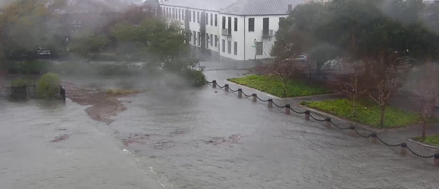
The storm caused major coastal flooding along the South Carolina coast, breaking records for highest non-tropical high tide. The Charleston Harbor Tide Gauge recorded 9.86 ft, which is the fourth highest tide on record right behind data collected during Hurricane Hugo. Additionally, rainfall records in downtown Charleston were broken, exceeding the previous record for this day by 2.68 inches. Check out the below video to see flooding impacts that occurred during this powerful storm in Charleston.
North Carolina
The North Carolina coast saw excessive rainfall, flooding, and extreme high tides. The Wilmington National Weather Service Forecast Office recorded 3.23 inches of rain on December 17th, which exceeds the previous record rainfall for that day by 2.35 inches. Preliminary data shows that high tide measurements peaked at 7 ft during the storm. Check out the below video of the extreme tides at Oak Island that occurred during the storm.
Using WebCOOS
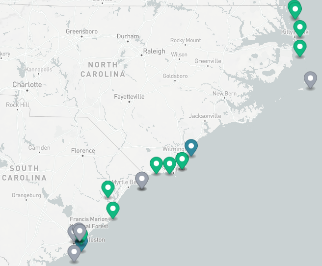
WebCOOS is a great tool for monitoring weather events across the Southeast in real time. To check out all of the camera locations that are live-streaming in real time, visit the WebCOOS website.
Related news

Claire McGrath Joins SECOORA as Program and Development Manager
SECOORA welcomes Claire McGrath as Program and Development Manager, supporting the Southeast & Caribbean Coastal Disaster Resilience Partnership and membership growth.

Spotlight: Mobilizing to Save Florida’s Coral Reefs
Learn how scientists are racing to save Florida's Coral Reef through coral rescue, gene banking, reef restoration, and innovative conservation efforts after disease and marine heatwaves devastated one of America's most important marine ecosystems.

From a Whale’s Song to an Ocean’s Symphony: How AI Decodes Underwater Sound
Explore how SECOORA-funded research is using AI and machine learning to decode ocean soundscapes, detect boat noise, and support coral reef restoration efforts.