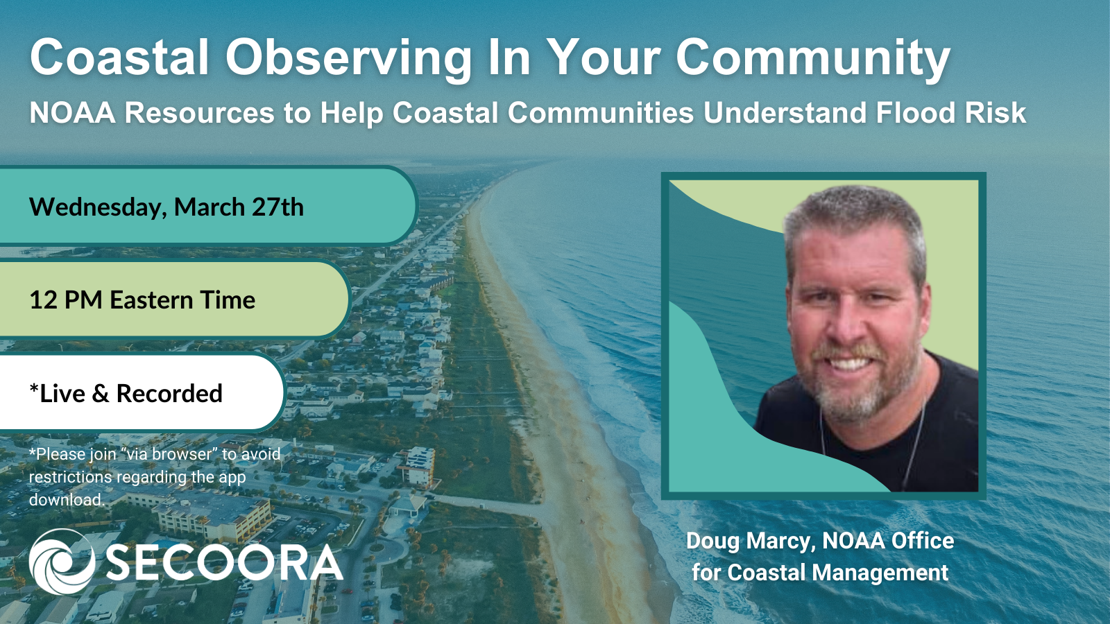
SECOORA’s March installment of the Coastal Observing in Your Community Webinar Series will feature Doug Marcy with the NOAA Office for Coastal Management (NOAA OCM). He will be providing an overview on NOAA tools and resources that can help coastal communities understand and communicate current and future flood risk, including a discussion of regional impacts of sea level rise.
Join us via this meeting link (https://meet.goto.com/secoora/march-webinar) on Wednesday, March 27th at 12 PM ET. We are using GoTo Meeting this month to ensure our Federal partners can tune in without issue. Please join “via browser” if your security settings do not allow for app downloads. The talk will be recorded and uploaded to SECOORA’s YouTube channel promptly after the webinar. If you would like to receive a calendar notifcation, please register via this Google Form.
Continue reading below to learn more about this month’s webinar and speaker.
Webinar Abstract
This presentation will discuss basic climate change and sea level science at the global level, then drill down to what is happening in different regions of the U.S. with a focus on the Southeast. Historical water level trends and Regional Sea Level Rise projections and trajectories will be illustrated and discussed (based on the SLR science included in NCA5). The presentation will then lead into regional impacts such as more frequent high tide flooding, compound flooding, coastal erosion, and expansion of coastal floodplains. Finally the presentation will highlight related data, tools, and training resources from NOAA’s Digital Coast.
About the Speaker
Doug Marcy is a Senior Coastal Hazards Specialist at the NOAA Office for Coastal Management in Charleston, SC. He has been with the NOAA 22 years working on flooding and sea level / lake level data, decision support tools, and technical assistance.
Related news

Claire McGrath Joins SECOORA as Program and Development Manager
SECOORA welcomes Claire McGrath as Program and Development Manager, supporting the Southeast & Caribbean Coastal Disaster Resilience Partnership and membership growth.

Spotlight: Mobilizing to Save Florida’s Coral Reefs
Learn how scientists are racing to save Florida's Coral Reef through coral rescue, gene banking, reef restoration, and innovative conservation efforts after disease and marine heatwaves devastated one of America's most important marine ecosystems.

From a Whale’s Song to an Ocean’s Symphony: How AI Decodes Underwater Sound
Explore how SECOORA-funded research is using AI and machine learning to decode ocean soundscapes, detect boat noise, and support coral reef restoration efforts.