Photo credit: Vince Winkel, WHQR
High Frequency radars (HF radars) are land-based systems that measure the speed and direction of ocean surface currents in near real-time.
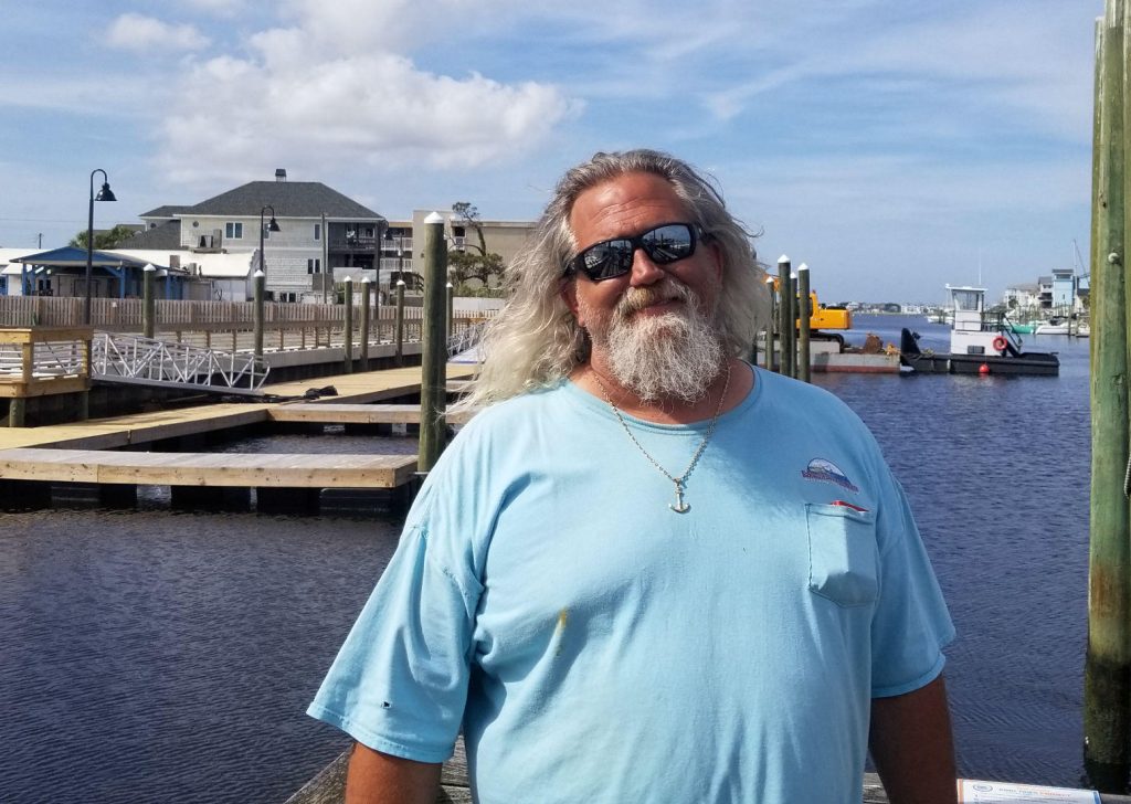
Commercial fisherman and self-proclaimed ‘computer geek’ Captain Dave Tilley (pictured right) sees HF radar data as a way to catch more fish. Tilley’s diverse skill set led him to incorporate HF radar data into his online fishing website Saltwater Central, a resource for sophisticated ocean modeling programs designed with fishermen in mind.
Meet Captain Tilley
Tilley’s models combine years of experience on the water with data from NOAA, NASA, and the National Weather Service (NWS) to offer fishermen tools and recommendations to increase their catch. Tilley’s WaveCast program provides current and projected forecasts for offshore waves. His offshore SEECast model adds data such as chlorophyll, currents, and mixed layer depth to traditional wave forecasting, and ReefCAST offers a 3×3-mile comprehensive wind and wave forecast.
As the end-to-end manager of all Saltwater Central operations, from accessing data to providing customer service, Tilley is an expert in explaining how data sources, from buoys to satellites, can provide valuable information for fishermen. Saltwater Central products emerged to help fishermen understand water temperature as a predictor for species presence and chlorophyll concentration as an indicator of potential feeding sites.
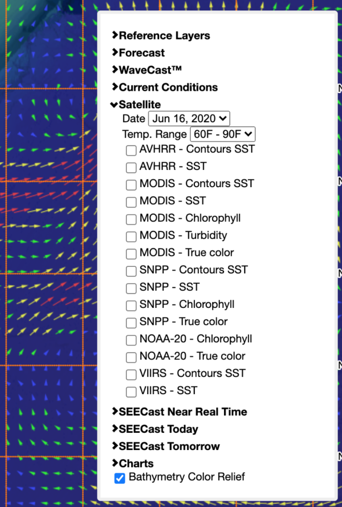
A screen capture of Tilley’s SEECast program shows some of the data users may select from his array of remote sensing information to better inform their fishing patterns.
Synthesizing High Frequency Radar for Fisherman Use
Tilley currently uses four SECOORA HF radar systems deployed on the North Carolina Outer Banks. The radars are managed by Dr. Harvey Seim, UNC Chapel Hill, and Dr. Mike Muglia, ECU Coastal Studies Institute. These HF radars estimate the speed, boundary, and orientation of the Gulf Stream in near-real-time.
By characterizing the surface currents off of Cape Hatteras, these radars assist recreational and commercial fishermen while also answering research questions related to the optimal location for marine renewable energy projects. For Tilley, HF radar data presents an opportunity to increase his catch.
From Raw Numbers to Interactive Maps
Tilley values HF radar data in his fishing models for its near-real-time surface current velocity data. Useful for tracking currents alone, accurate HF radar data further aids Mid-Atlantic and Southeast fishermen by indicating the near-precise location of the Gulf Stream’s edge. While satellite sea surface temperature (SST) data have the potential to approximate the edge of the Stream based on temperature differentials, coverage is often incomplete or outdated. Tilley’s slogan for his service at SaltwaterCentral is ‘More than JUST SSTs’, underlining the limitations of SST data due to cloud cover and infrequent satellite passages. Luckily, Tilley can use HF radar data to supplement SST data and approximate the edge of the Gulf Stream based on current velocity even without satellite data.
Tilley incorporates data into several products on SaltwaterCentral. Tilley’s REEFCast product incorporates HF radar data into offshore wave forecasting. Like SEECast, REEFCast allows users to pick a select point in the ocean for a comprehensive wave forecast. Tilley’s models extend predictions between 5 and 7 days and detail variables including wave direction, wave height, wave period, and secondary wave height and period. The feature includes a graphic output where users can scroll to see a numerical summary for each variable based on the time of day.
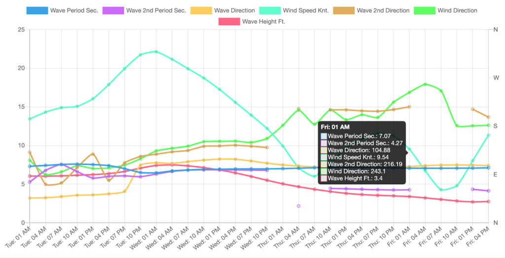
A screen capture of Tilley’s REEFCast model for a popular fishing site off Carolina Beach.
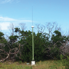
Pictured above is a HF radar. Photo Credit: USF CMS
Searching for More Data
Tilley has overcome significant challenges to develop Saltwater Central. Whether identifying the edge of the Gulf Stream or mapping surface currents, manipulating HF radar data is complex due to its incomplete coverage and the diversity of systems in use. Although the East coast has many radars in service, there are extended gaps between their coverage. This results in rich data for specific areas and no data for many others.
Despite the complexity of the data and the gaps in coverage, Tilley likes what he’s seen so far, and is enthusiastic about the data’s ability to better inform his models. Of the radar datasets nation-wide, he says, “I would love to get my hands on every single one of them in existence.”
Related news

Claire McGrath Joins SECOORA as Program and Development Manager
SECOORA welcomes Claire McGrath as Program and Development Manager, supporting the Southeast & Caribbean Coastal Disaster Resilience Partnership and membership growth.

Spotlight: Mobilizing to Save Florida’s Coral Reefs
Learn how scientists are racing to save Florida's Coral Reef through coral rescue, gene banking, reef restoration, and innovative conservation efforts after disease and marine heatwaves devastated one of America's most important marine ecosystems.

From a Whale’s Song to an Ocean’s Symphony: How AI Decodes Underwater Sound
Explore how SECOORA-funded research is using AI and machine learning to decode ocean soundscapes, detect boat noise, and support coral reef restoration efforts.