Gliders Officially Recognized as Essential Hurricane Monitoring Tools
A milestone years in the making: ocean gliders are now formally recognized as an essential component of the 2026 National Hurricane Operations Plan by the Interagency Council for Advancing Meteorological Services (ICAMS).
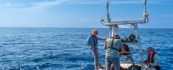
Forecasting relies heavily on atmospheric data, but what’s happening beneath the ocean surface is just as critical for understanding tropical cyclone intensification. That’s where ocean gliders can help. Deployed by the U.S. Integrated Ocean Observing System (IOOS), National Oceanic and Atmospheric Administration, Naval Oceanographic Office, and academic partners, these autonomous systems continuously monitor subsurface conditions.
After years of demonstrated contributions to forecasting, the Interagency Council for Advancing Meteorological Services (ICAMS) integrated ocean gliders into their 2026 National Hurricane Operations Plan reinforcing the value of sustained real time ocean observing systems.
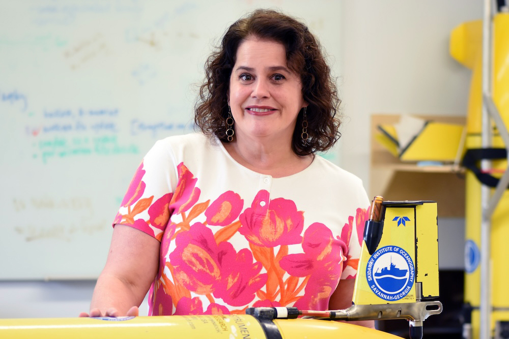
“Over the past 8 years, the national glider community has come together to show the value that gliders contribute to our forecasting capabilities through real time observations in the subsurface ocean. What started as a demonstration project in 2018 has blossomed into an international operational effort, with significant support from US IOOS and the US Navy, and formal inclusion into the Operations Plan shows how powerful collaborations and partnerships among federal agencies and academia can be to advance our national capabilities.” – Catherine Edwards, UGA Skidaway Institute of Oceanography
Gliders can:
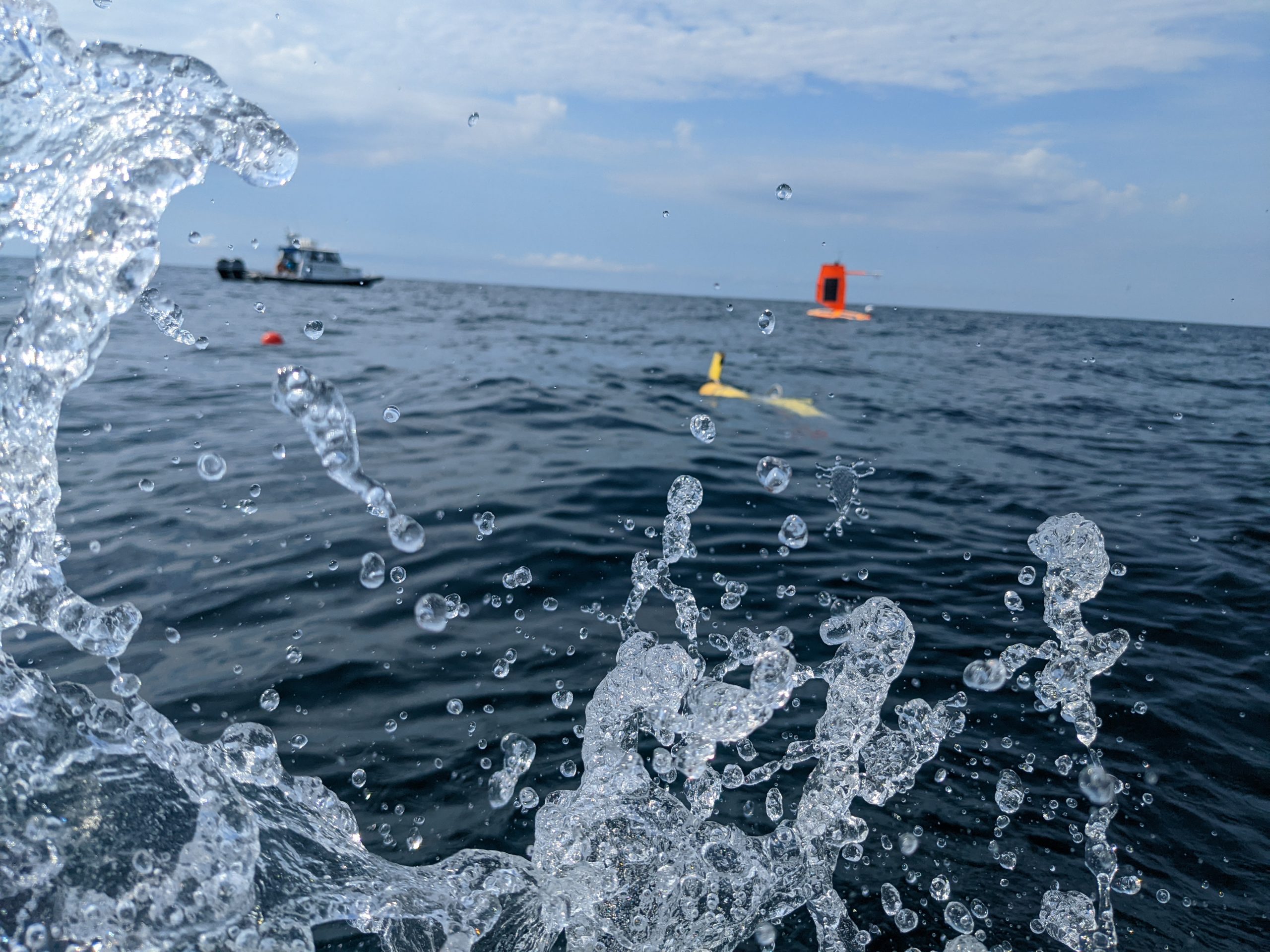
- Continue to operate in hazardous conditions as they are uncrewed
- Dive up to 1,000 m
- Track ocean features linked to changes in cyclone intensity
- Transmit data via satellite after every dive
Collecting Data for Forecasting
Three-dimensional temperature and salinity data in the ocean provide an estimate of how much heat may be available to fuel tropical storm intensity, and the data feeds directly into the data networks that support hurricane forecasting. At regular intervals throughout the day, glider observations are transmitted to the Glider Data Assembly Center (DAC) and are used by National Data Buoy Center (NDBC). From there, they are assimilated into Numerical Weather Prediction models within hours of measurement, helping refine model performance and improve our ability to anticipate changes in storm intensity.
Recognition in ICAMS’ 2026 Hurricane Plan affirms glider data as essential to hurricane monitoring and understanding of storms for smarter forecasts and better outcomes for coastal communities.
SECOORA Hurricane Glider Missions
Since 2018, SECOORA and partners have supported 58 glider missions and nearly 2,000 glider-days during hurricane season, collecting hundreds of thousands of ocean profiles that improve understanding of rapidly changing ocean conditions ahead of storms. These coordinated experimental missions demonstrated the value of glider data for forecasters and helped advance gliders from an experimental capability to an officially operational component of the National Hurricane Operations Plan.
By the Numbers:
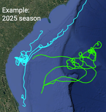
From 2018-2025: 58 glider missions, 1918 glider-days, estimated 600k profiles during hurricane season
- 43 SECOORA observatory missions (cyan)
- Combination of SECOORA glider observatory and hurricane supplemental funds
- 14.5 Navy glider missions (green)
- Focus on deep water on far side of Gulf Stream
- Coordinated Gulf Stream crossings
- 7 Saildrone missions coordinated with SAB gliders (2021-2025)
- $1.7M external/supplemental funding to SECOORA since 2020
National impact (2018-2023):
- 31 of 42 (74%) — Named storms aimed at U.S. waters had gliders in 5-day forecast cone
- 8 of 9 (90%) — Major hurricanes aimed at U.S. waters had gliders in 5-day forecast cone
- 68 — Glider-intercepts across 25 named storms
Related news
Rebuilding the Future: USF’s College of Marine Science Recovers from Historic Blaze One Day at a Time
Following a devastating fire at USF’s Marine Science Lab, researchers rally to salvage decades of critical data and maintain vital ocean monitoring.

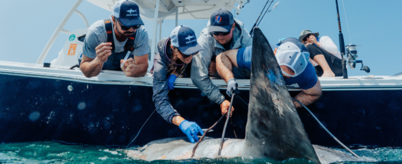
Reimagining the Deep: BioTrack and the Whitespotted Eagle Rays of Florida’s Indian River Lagoon
Join FAU researchers as they track endangered whitespotted eagle rays in Florida’s Indian River Lagoon using advanced BioTrack acoustic and video tags.
Reimagining the Deep: BioTrack’s Quest to Map Marine Biodiversity Hotspots
Discover how the BioTrack initiative uses advanced satellite and acoustic animal tracking to map marine biodiversity hotspots and protect endangered wildlife.