

– A SECOORA Funded Mini Project –
Project Overview
Major ocean currents can generate hazardous cross-currents near some ports. At the South Florida ports of Miami, Everglades, and Palm Beach, high cross-currents occur irregularly. Cross-currents can persist for hours to days as they meander in the Florida Current / Gulf Stream and shift their position westward onto the port access channels. This project developed a prototype Machine Learning (ML) algorithm to predict the probability of high cross-currents near the Port of Miami – one of the busiest ports in the Southeast.
Why this Matters
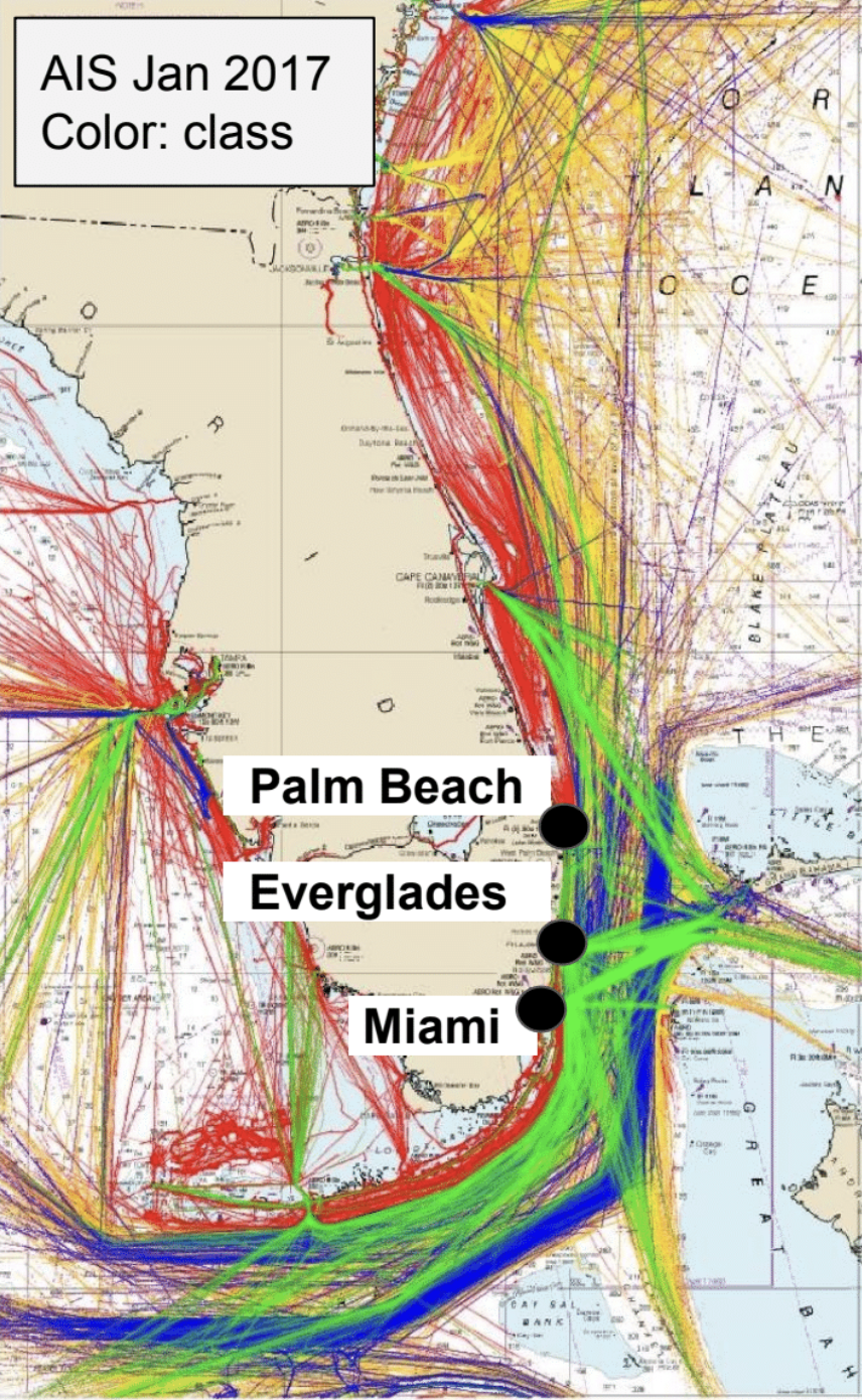
To aid in large-vessel traffic management, the tool transforms multivariate ocean current data into a product that can potentially be used to reduce the risks associated with vessel maneuvering under hazardous conditions. The prototype ML algorithm uses the HYCOM-modeled currents. The algorithm operates automatically, updating forecasted currents every few hours to ensure users receive consistent and accurate information.
The decision support tool predicts optimal transit windows for vessels to avoid hazardous cross-current conditions 24 to 48 hours in advance, reducing risk associated with vessel passages under high cross-current conditions.
Dr. Mark Luther, University of Florida College of Marine Science
Technical Report
A technical report titled, Improving the Management of Maritime Traffic in Southeast US Waters Using Machine Learning, on the ML algorithm can be found here.
This report is a summary of how the ML algorithm was developed.
Next Steps
This is a prototype application. There is a need for the inclusion of real-time data from NOAA PORTS such as acoustic doppler current profiler data and sea surface current data specifically from High-Frequency Radar available in South Florida. Additionally, the ML algorithm could be expanded to other ports in the southeast and beyond. Funding is needed to refine and test the product before becoming a forecasting tool that can be used by harbor pilots.
Project Partners
Dr. Mark Luther
Dr. Steven Meyers
Related news
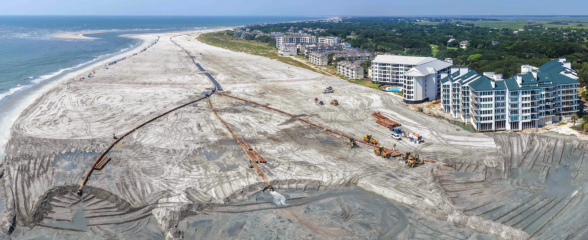
At the Water’s Edge: Lowcountry Coastlines in a Brave New World
A nor'easter's record storm tide. A stalled tropical storm. Two Lowcountry towns adapting to a new era of flooding, with SECOORA data in hand.

Above the High Tide: Water Level Sensors on the Front Line
SECOORA's Southeast Water Level Network has installed 100+ sensors across the Carolinas, Georgia, and Florida, giving communities real-time flood data.
SECOORA is Hiring a Grants Manager
SECOORA is hiring a Grants Manager to lead grant and subaward management across a four-state coastal ocean observing network. Based in the Southeast US. Apply now.