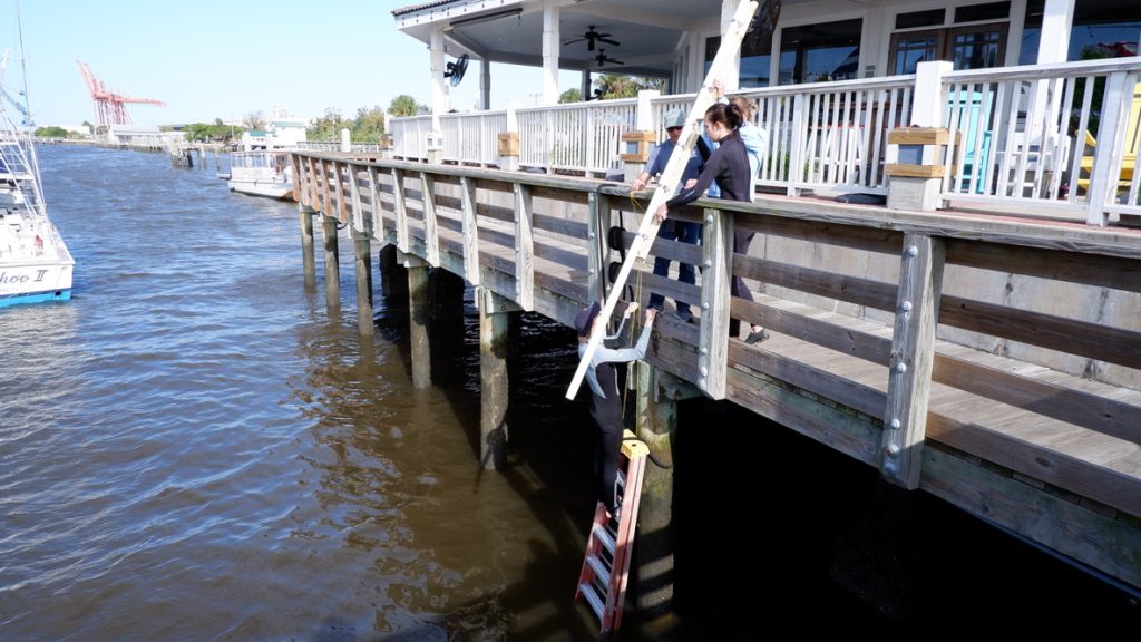
Dr. Tiffany Troxler and her team from Florida International University installing a water level sensor in Fernandina Beach Marina. 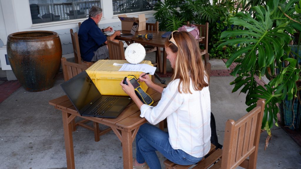
Drs. Nicole Elko ( American Shore and Beach Preservation Association) and Russell Clark (Georgia Tech) preparing water level sensors for installation in Fernandina Beach, Florida. 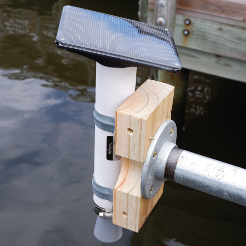
A Hohonu water level sensor installed. The solar panel is shown on the top, while the grey cone at the bottom is the sensor. 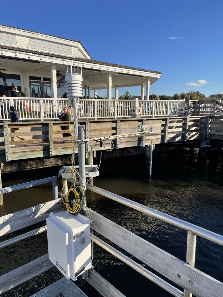
A weather station and water level sensor are co-located. The installation was complete by Drs. Jason Hallstrom (Florida Atlantic Univeristy) and Paul Gayes (Coastal Carolina University). 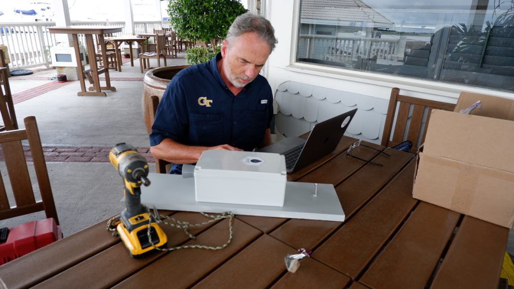
Dr. Russell Clark from Georgia Tech preparing a Smart Sea Level Sensor for installation. 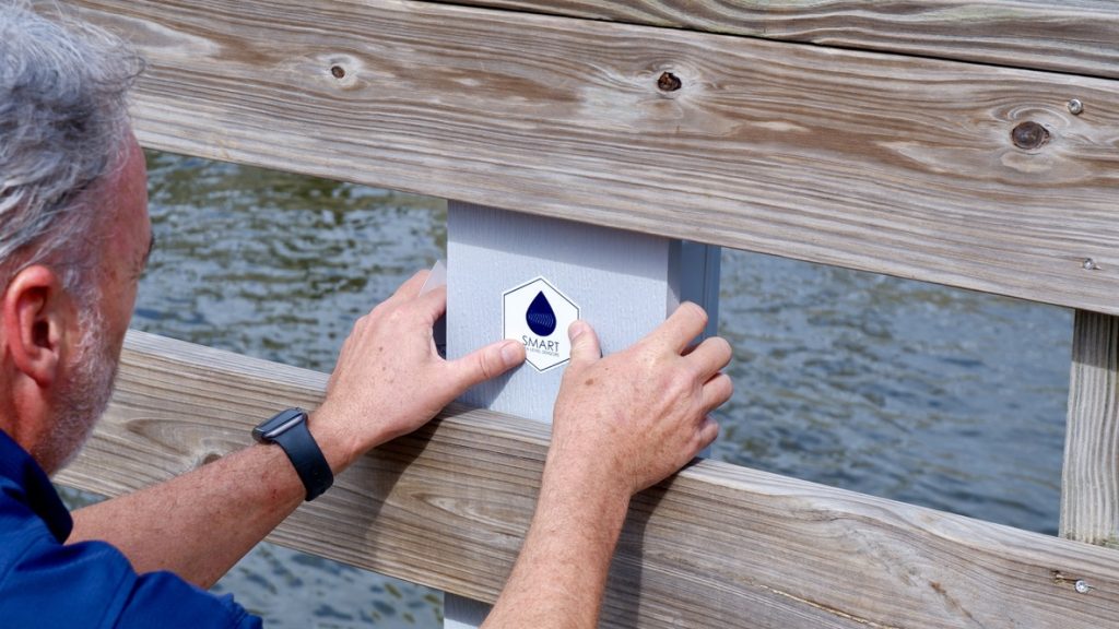
Dr. Russell Clark from Georgia Tech installing a Smart Sea Level Sensor.
SECOORA is funding a network of low-cost water level sensors across the southeast to develop the next generation of coastal observing systems at the scale where people live and make decisions. The program will provide water level data to coastal communities in North Carolina, South Carolina, Georgia, and Florida that face threats from high tide flooding, storm surge, and sea-level rise.
SECOORA is partnering with the American Shore and Beach Preservation Society (ASPBA), Coastal Carolina University, Florida International University, and Georgia Tech to install approximately 200 sensors over a five-year period.
Six water level sensors installed in Fernandina Beach, FL
The project kicked off with the four teams installing six sensors as a test deployment at the Fernandina Beach Marina, in Fernandina Beach, FL. This test deployment will be used to compare water level data between the project team sensors and an existing NOAA water level station. The teams are comparing the data to ensure the low-cost sensors are collecting accurate data at an ideal sampling frequency.
“The importance of measuring and monitoring coastal water levels, especially for communities like Fernandina Beach, cannot be underestimated. Being on a barrier island and susceptible to tidal flooding and storm surges places the residents, businesses, and property in Fernandina Beach at great risk to the danger of rising ocean waters. The City Commission has recognized this growing threat and has embarked on a significant effort to protect the City’s critical economic asset – its historic downtown – by constructing facilities to mitigate flood waters. Over the course of the next several years, this project will make great use of the data provided through the efforts and assistance of the ASBPA, SECOORA, and NOAA. Fernandina Beach is excited to be part of the early implementation effort of the monitoring system.”
Dale Martin, City Manager, City of Fernandina Beach
Water level information is vital for community safety

The sensors will provide real-time water level data to town managers, emergency managers, and the public. This data is vital for monitoring coastal flooding and keeping citizens informed of hazardous conditions. Once the network of sensors is established, communities can use the data when designing resilience and adaptation strategies to sea-level rise and other climate impacts.
“Waterfront communities have limited water level data at any given moment for various critical locations within their communities. With today’s technology, every community should have access to real-time water level data exactly where they need it for emergency management, public safety, recreation, and to support infrastructure planning. This project brings basic information (“How high is the tide in my community right now?”) into the hands of the local decision makers who desperately need this type of data to manage coastal flood challenges.“
Dr. Nicole Elko, Science Director, American Shore and Beach Preservation Association
Southeast Water Level Network
This Southeast Water Level Network was formed in July 2021 through a 5-year cooperative agreement between the Southeast Coastal Ocean Observing Regional Association (SECOORA) and the NOAA Integrated Ocean Observing System. As the water level sensors are installed, data will become available online, and ultimately data will be accessible on SECOORA’s website. This data will be open-source, free, and publicly available for download. To learn more, please visit SECOORA’s Water Level Network Webpage.
SECOORA’s Water Level Network Partners
Related news

Scientist Spotlight: Dr. Frank Muller-Karger
Meet Dr. Frank Muller-Karger, a Biological Oceanographer and Distinguished University Professor at the USF College of Marine Science and co-lead of the U.S. Marine Biodiversity Observation Network. His research integrates satellite data, environmental DNA, and physical sensors to better understand how warming oceans are influencing marine populations.
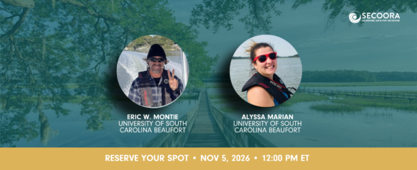
Webinar | The Sound of Resilience? Listening to Estuaries in a Changing World
Join us on November 5, 2026, at 12:00 PM ET to explore sound is transforming our ability to monitor, understand, and communicate estuarine ecosystem health in a rapidly changing world.

Meet the Recipients for the 2026 Vembu Subramanian Ocean Scholars Award
Meet the 2026 Vembu Subramanian Ocean Scholars! This year’s scholars will attend the 2026 SECOORA Annual Meeting in Atlantic Beach, NC, where they will be paired with experienced mentors who will help support networking, career conversations, and connections within our community.