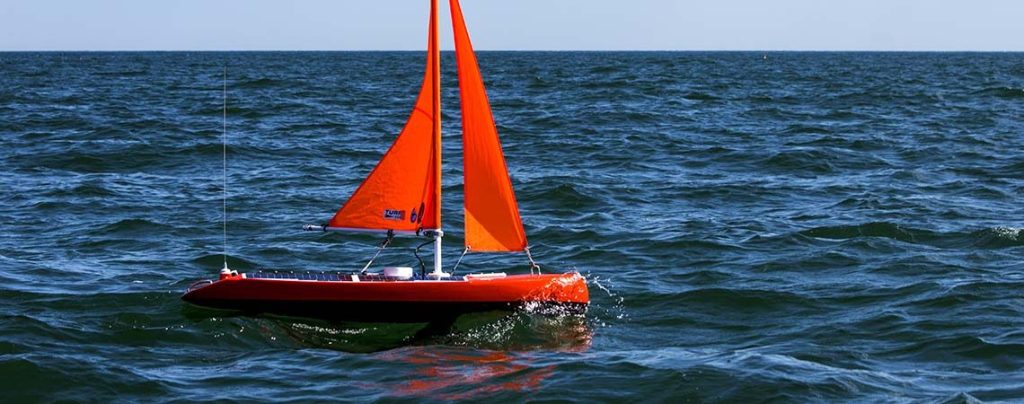
SECOORA is excited to welcome new member Navocean. Navocean is a small business that designed a “mobile buoy”, known as a Nav2 ASV, to provide persistent observations over large or small areas. The Nav2 ASV is a 2-meter self-navigating sailboat designed for versatility and easy logistics. It is equipped with a wide variety of sensor payloads and can perform short to long duration missions. Nav2s are small, efficient and safe to operate, making them well suited for lakes, estuaries, coastal or offshore areas. Click here to read about one of their projects monitoring algae in Lake Okeechobee.
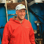
“Navocean is excited to join SECOORA and work with them to get our data into the hands of researchers and stakeholders. We are also looking forward to working with SECOORA and our regional science and research partners to ensure Quality Control / Quality Assurances on our data.” – Scott Duncan, Founder and President of Navocean (pictured right)
About SECOORA Membership
Our members influence and guide all our endeavors to help make us a trusted source for coastal ocean information in the southeast. With over 40 members, SECOORA is able to work towards our mission to observe, understand, and increase awareness of our coastal ocean – promoting knowledge, economic and environmental health through strong regional partnerships. Click here to learn more about membership.
Related news
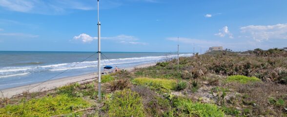
Measuring Surface Currents on the East Coast of Florida with High Frequency Radars
The Florida Institute of Technology and UGA Skidaway Institute of Oceanography recently installed four high frequency radars on the east coast of Florida. These systems measure the speed and direction of ocean currents, which is helpful for search & rescue operations and tracking marine debris.

The 2024 SECOORA Annual Meeting: A Huge Success!
The SECOORA Annual Meeting was held in Charleston, South Carolina May 7th - 8th. Thank you to those who attended, we hope to see you again next year!
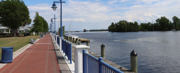
SECOORA Partners with North Carolina Communities to Install New Water Level Sensors
SECOORA has partnered with North Carolina Public Safety, Beaufort County Emergency Services, and the town of Belhaven to install new water level stations in two flood-prone North Carolina communities.
