SECOORA has started a new blog. Posts will be written by the SECOORA team or invited experts in the coast and ocean sciences and will cover anything from new technology to insight on events in the region – such as hurricanes, red tide, etc.
Our goal is to use this platform to increase awareness of our coastal ocean and create an open dialogue. We are committed to sharing coastal and ocean information from trusted SECOORA partners in the southeast region. Click here for Hurricane Matthew resources page.
Read two posts on Hurricane Matthew from Ruoying He, North Carolina State University.
Related news

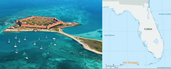
New High Frequency Radar at the Dry Tortugas National Park Improves Ocean Surface Current Measurements Across the Straits of Florida
A new CODAR Low-Power SeaSonde HFR has been deployed by the University of South Florida at Fort Jefferson on Garden Key to measure surface currents to improve understanding and prediction of the Gulf of Mexico Loop Current.

President Biden Proposes Significant Budget Cuts to IOOS for 2025
President Biden’s recent 2025 budget proposal slashed the funding allocated for the Integrated Ocean Observing System (IOOS) by 76%, which would effectively shut down coastal and ocean observing efforts.

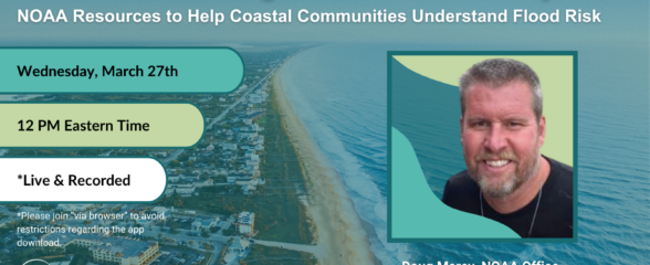
Webinar: NOAA Resources to Help Coastal Communities Understand Flood Risk
Join us Wednesday, March 27th at 12 PM Eastern Time for SECOORA's Coastal Observing in Your Community Webinar Series to hear from Doug Marcy with the NOAA Office for Coastal Management.