


Organized to coordinate regional disaster recovery and resilience planning, the SCDRP has emerged as a convening forum for professionals from public, private, academic, and non-profit organizations who are committed to building capacity and sharing their expertise to advance community resilience. The SCDRP hosts regular monthly calls and an annual meeting to provide updates on regional and community issues, learn about conferences, webinars, and workshops; inform each other on any new resources; and seek guidance on best practices and new opportunities.
About the Position
The Executive Director will support the SCDRP by leading the partnership efforts, organizing monthly Partnership meetings (virtual), assisting in agenda development and updates at the monthly Board meetings (virtual), leading proposal development and fundraising efforts, and leading planning of the SCDRP Annual Meeting (in-person). This position will work with the SCDRP Coordinator, Advisory Board, and Committees to execute the strategic goals of the partnership.
To Apply
Please submit a resume, cover letter explaining why you are uniquely qualified for the position, and 3 professional references by email to scdrp@secooraorgpact.wpengine.com. The deadline to apply is July 29th, 2022. Click here for the full job announcement.
Related news
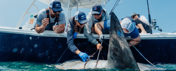
Reimagining the Deep: BioTrack’s Quest to Map Marine Biodiversity Hotspots
Discover how the BioTrack initiative uses advanced satellite and acoustic animal tracking to map marine biodiversity hotspots and protect endangered wildlife.

SECOORA Is Ready for the 2026 Hurricane Season
Hurricane season is here and SECOORA’s resources are available to help you stay informed. From real-time buoy data and live webcam feeds to ocean gliders and storm surge models, our network of observing systems is ready to support forecasters, emergency managers, researchers, and coastal communities throughout the Southeast.

Species Spotlight: Trichodesmium
Discover the remarkable role of Trichodesmium, a microscopic cyanobacterium that helps fuel life across the ocean. In this Species Spotlight, explore how researchers supported by the Marine Biodiversity Observation Network (MBON) are using imaging technology, genomics, and eDNA to better understand this “shape-shifting” organism and its influence on marine ecosystems, ocean health, and coastal economies.