News
News
August 25, 2023
REQUEST FOR PROPOSALS: Enhancing Marine Science Curriculum for K-12 Formal and Informal Educators
SECOORA is seeking innovative proposals to create curriculum materials that effectively engage K-12 students to enhance their understanding of our coastal and ocean environments. The Southeast Coastal Ocean Observing Regional...
News
August 23, 2023
New High Frequency Radar Improves Ocean Surface Current Measurements in the Florida Keys
The new Key West CODAR SeaSonde® HF radar is the second of three CODAR HF radars to be deployed in the lower Florida Keys region to measure surface currents. The three HF radars will help improve the understanding and prediction of the Gulf of Mexico Loop Current.
News
August 23, 2023
FUNDING OPPORTUNITY: SECOORA Data Challenge
Integrating Data to Understand a Coastal Ocean Event The Southeast Coastal Ocean Observing Regional Association (SECOORA) Data Challenge invitesundergraduate students, graduate students, and early career professionals to develop a projectthat...

News
August 23, 2023
FUNDING OPPORTUNITY: Vembu Subramanian Ocean Scholars Award
In remembrance of Vembu Subramanian – our friend, colleague and the SECOORA Data Manager - we established an award for the next generation of ocean experts to meet others in...

News
August 11, 2023
ShellCast Has Expanded to Include the South Carolina Coast
ShellCast is a digital tool that helps shellfish farmers make data-driven management decisions by predicting shellfish lease closures. Now, the app has expanded to offer lease closure predictions for shellfish waters along the South Carolina coast.

News
August 4, 2023
Job Opportunity: Communications and Engagement Specialist
SECOORA is seeking a full-time Communications and Engagement Specialist to join our team! As the Communications and Engagement Specialist you will be part of a trusted organization supporting coastal ocean...
News
July 24, 2023
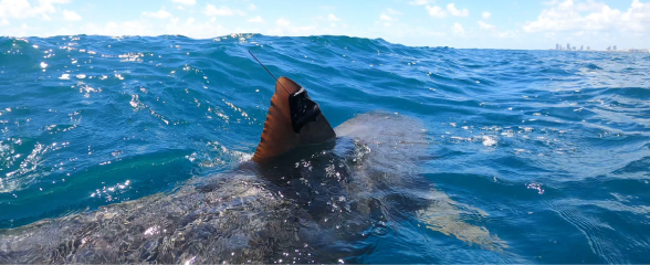
The BioTrack Initiative: A Network to Assess and Monitor Biodiversity Hotspots
The BioTrack Initiative is a collaborative network that assesses and monitors biodiversity hotspots by integrating satellite and acoustic tracking data from marine animals.

News
July 24, 2023
Web Camera Network Project Manager
Over the past five years, SECOORA and partners have successfully piloted and transitioned to operations a coastal webcam network for the Southeast US. The network, known as WebCOOS, streamlines the collection,...
News
July 5, 2023
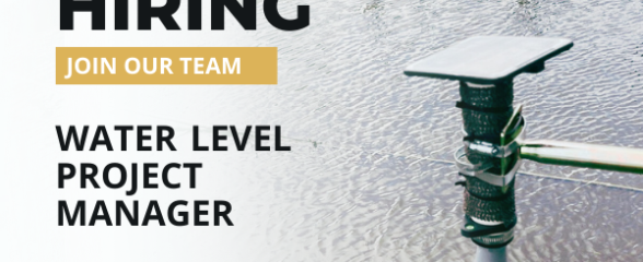
Job Posting: Water Level Manager
SECOORA is seeking to hire a Water Level Project Manager to lead a multi-year project to design and operate a regional water level sensor network, including supporting installation and maintenance...
News
June 12, 2023
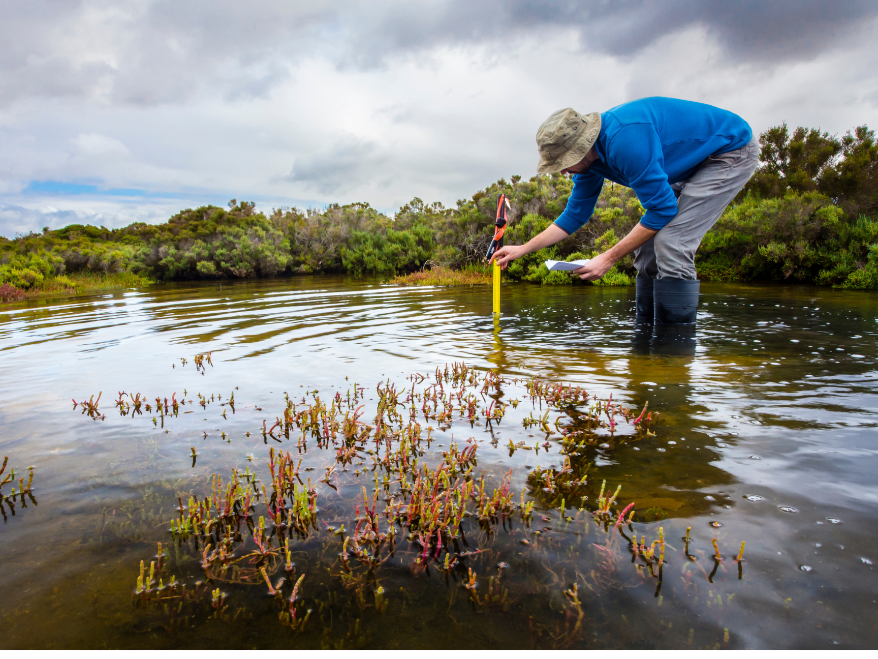
Seeking: Surface Elevation Table Coordinator
SECOORA is seeking a Surface Elevation Table (SET) Coordinator to join our team. The SET Coordinator will play a vital role in coordinating wetland elevation monitoring in the region. Deadline to apply is July 7, 2023. Click here for PDF of job opportunity.