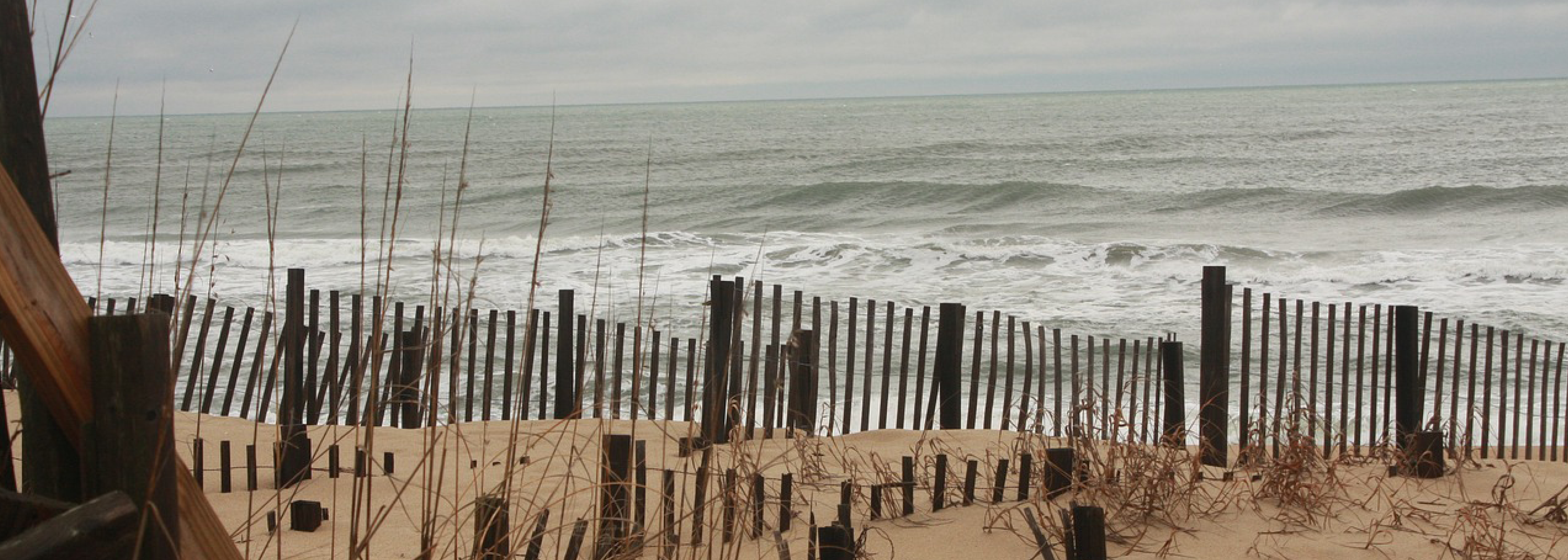
Currituck County (North Carolina) will be one of the first U.S. coastal communities to install web cameras as part of the SECOORA led program, Webcams for Coastal Observations and Operational Support (WebCOOS). This project is utilizing coastal web cameras for quantitative scientific analysis, public safety, and resource management for coastal municipalities and is funded by the National Oceanic and Atmospheric Administration (NOAA).
Web Camera Data for Coastal Hazards and Public Safety
The two cameras will have integrated cutting-edge technology with scientific and public health applications. Collected data will be used to alert and inform residents, visitors, and scientists about flooding, beach usage, beach and surf zone conditions such as rip currents and coastal inundation, and water quality for swimmer safety.
The system will use a combination of Artificial Intelligence (AI) and Machine Learning (ML) software to monitor, assess, and report on beach hazards and activities. Additionally, live beach footage from both cameras will be available to the public to view from their desktop and mobile devices.
Partners
Currituck County is partnering with SECOORA, University of South Carolina, University of North Carolina Wilmington, University of California Santa Cruz, Axiom Data Science, NOAA (CO-OPS), U.S. Geological Survey, and the U.S. Army Corps of Engineers to install new web cameras on the oceanfront in Corolla.
The project is anticipated to launch in Spring 2022 and a special announcement will be made when the live feeds are ready for public viewing.
Read More in the News
Related news

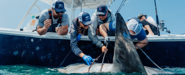
Reimagining the Deep: BioTrack and the Whitespotted Eagle Rays of Florida’s Indian River Lagoon
Join FAU researchers as they track endangered whitespotted eagle rays in Florida’s Indian River Lagoon using advanced BioTrack acoustic and video tags.
Reimagining the Deep: BioTrack’s Quest to Map Marine Biodiversity Hotspots
Discover how the BioTrack initiative uses advanced satellite and acoustic animal tracking to map marine biodiversity hotspots and protect endangered wildlife.
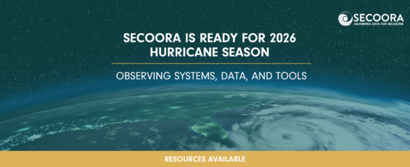
SECOORA Is Ready for the 2026 Hurricane Season
Hurricane season is here and SECOORA’s resources are available to help you stay informed. From real-time buoy data and live webcam feeds to ocean gliders and storm surge models, our network of observing systems is ready to support forecasters, emergency managers, researchers, and coastal communities throughout the Southeast.