

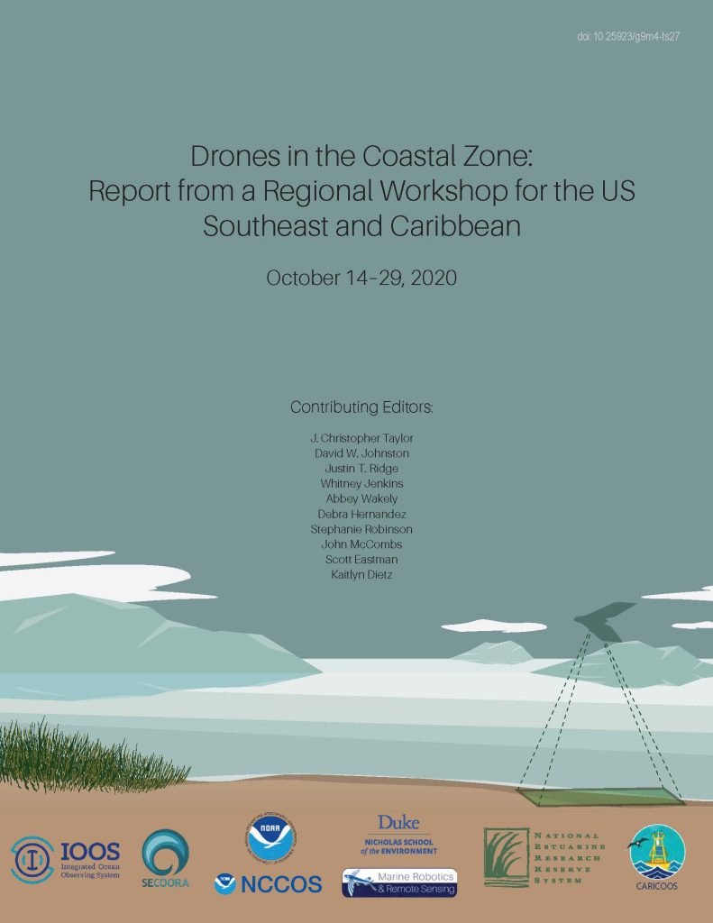
Drones in the Coastal Zone: Report from a Regional Workshop for the US Southeast and Caribbean is now available. The virtual workshop, held in October 2020, hosted over 250 participants from academic, government and private industry. Participants learned about aspects of drone technology including governmental policy and procedures, mission planning, data management, demonstrations on emerging drone technologies, and more.
Highlights in the report include:
- Advances in drone applications for monitoring coastal habitat condition, assessing hazards and damage, and observing wildlife populations.
- Overviews of federal and state government approaches to regulations, policies and best practices for legal and ethical considerations in operating drones in public spaces.
- Recommendations for a regional drone community of practice to expand training opportunities as well as collaboration across sectors to tackle emerging coastal ecosystem management challenges.
Click here to download the workshop report.
Workshop sponsors and report contributors included: NOAA’s Southeast and Caribbean Regional Collaboration Team, National Estuarine Research Reserves, National Centers for Coastal Ocean Science, Office for Coastal Management, and Southeast Coastal Ocean Observing Regional Association, and Duke University’s Marine Robotics and Remote Sensing Lab.
Related news

Above the High Tide: Water Level Sensors on the Front Line
SECOORA's Southeast Water Level Network has installed 100+ sensors across the Carolinas, Georgia, and Florida, giving communities real-time flood data.

SECOORA is Hiring a Grants Manager
SECOORA is hiring a Grants Manager to lead grant and subaward management across a four-state coastal ocean observing network. Based in the Southeast US. Apply now.

Meet the new 2026 SECOORA Board Members
SECOORA welcomes three new members to its Board of Directors, effective July 1, 2026 - bringing fresh expertise in marine science, coastal geomorphology, and ecosystem restoration to guide our work across the Southeast.