

SECOORA Co-Hosts the 2026 WebCOOS Workshop In Person in La Jolla, CA
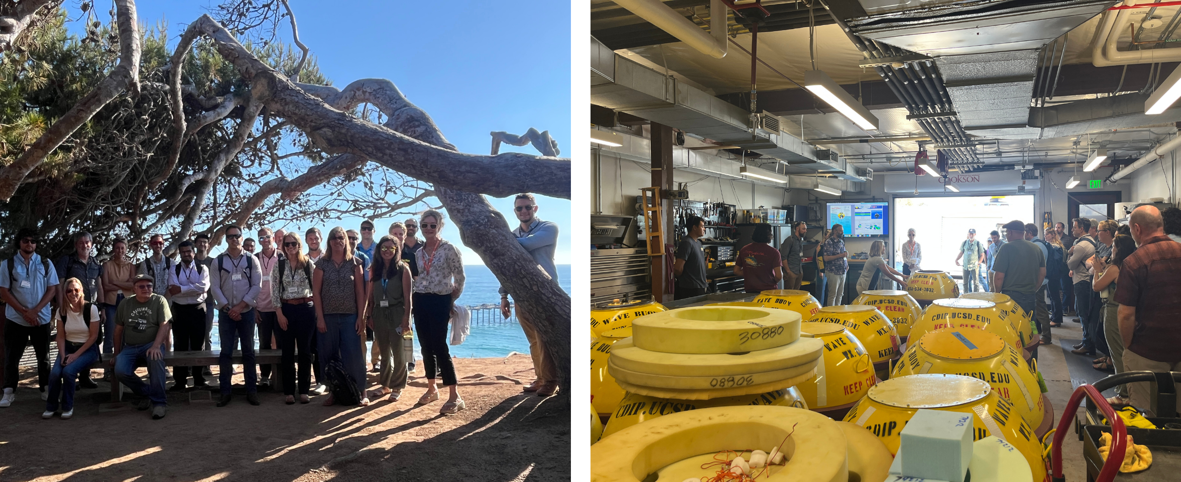
The 2026 WebCOOS Workshop convened in person on July 21-22, 2026 in La Jolla, CA. 45 attendees representing all 11 IOOS Regional Associations and national partners joined this collaborative workshop to discuss webcam-derived coastal products, stakeholder needs, and the network's transition into its next phase under IRA T2.

The 2026 WebCOOS Workshop convened July 21–22 in La Jolla, CA, bringing together 45 attendees from all 11 IOOS Regional Associations along with national partners including NOAA’s Center for Operational Oceanographic Products and Services (CO-OPS), the U.S. Geological Survey (USGS), NOAA’s Office for Coastal Management (OCM), the U.S. Army Corps of Engineers (USACE), Tetra Tech, and Surfline. The workshop marked the culmination of the WebCam Coastal Observation System (WebCOOS) Ocean Technology Transition (OTT) grant, and the start of WebCOOS efforts under the Inflation Reduction Act Topic 2 (IRA T2) Waves, Water Level, and Webcams (W3) project.
This workshop brought together attendees to:
- Showcase stakeholder investment in webcam projects across the Southeast and the nation.
- Share updates on current research and operational products for webcam-derived data.
- Hear directly from Southern California stakeholders about local data needs and use cases.
- Identify priorities and next steps for the WebCOOS network under IRA T2, including continued conversations about data storage and partnership with Surfline.
Workshop Overview
Day one opened with a retrospective on the WebCOOS OTT grant, which launched in September 2023 and enters its final year. Attendees discussed the network’s transition from a regional to a national effort, and from development toward quasi-operational status, alongside ongoing challenges around finding camera hosts and delivering products on demand. Surfline shared a demo of the forthcoming WebCOOS dashboard, which will allow users to compare past and present imagery, view tide, weather, wind, and swell data alongside camera footage, download annotated video “rewinds,” and edit GIS layers.
A Current Products session followed, with speakers Fahim Khan (Cal Poly San Luis Obispo), Joe Long (UNC Wilmington), Jeremy Cothran (University of South Carolina), Matthew Conlin (NOAA CO-OPS and OAI), and Jennifer Vreeland-Dawson (NOAA CO-OPS) covering rip current detection, shoreline change, object detection, flood visualization, and a new NOAA CO-OPS learning guide for webcams.
During the National Stakeholder Session, each Regional Association presented on user needs from their region. The Local Stakeholder Session then turned to Southern California, with presentations from Marc Beyeler (BEACON), Chris Helmer (City of Imperial Beach), Dane Lazarus (USC Sea Grant), Ken Schiff (SCCWRP Regional Monitoring), and Darbi Berry (San Diego Regional Climate Collaborative), covering topics from beachgoer behavior and sewage monitoring to lagoon mouth dynamics and coastal resilience planning.
The day closed with two Technical Research Panels, moderated by Greg Dusek (Dusek Coastal Science & Consulting), featuring researchers from Surfline, Scripps Institution of Oceanography, USGS, USACE, Texas A&M University-Corpus Christi, UC Santa Cruz, North Carolina State University, and the Washington Department of Ecology. Panelists discussed applications ranging from AI-driven flood thresholds to community-identified flooding hotspots, and the value of integrating webcam data with instruments like LIDAR and wave buoys.
The first day concluded with a field trip to the Coastal Data Information Program (CDIP) Wave Buoy Workshop at Scripps Institute of Oceanography.
Day two began with a presentation from Josh Rhoades, Tetra Tech, on data storage strategies, including a tiered storage system that has helped manage costs to date. Discussion followed on developing baseline data storage policies, downscaling image and video quality, and coordinating with the Coastal Imaging Research Network (CIRN) on shared international storage challenges.
The remainder of the day focused on the transition from OTT to IRA T2, including a Q&A with Surfline on cost and data accessibility under its new management of the WebCOOS data portal, and an IRA T2 scoping session to identify next steps for the network, including plans for a new national WebCOOS team convening on a monthly or bimonthly cadence.
Key follow-up actions identified at the workshop include:
- Convening a new national WebCOOS team under IRA T2.
- Continuing discussions on data management, storage, and standardization of methods.
- Creating space for ongoing coordination between Regional Associations and Surfline. Refining the NOAA CO-OPS webcam pilot learning guide.
- Deepening collaboration with the Coastal Imaging Research Network (CIRN).
This workshop was made possible through a collaborative planning effort between SECOORA, the IOOS Association, and SCCOOS (Southern California Coastal Ocean Observing System). We’re grateful to the IOOS Association for their funding support and partnership in shaping the workshop content, and to SCCOOS for hosting us at the Scripps Institution of Oceanography.
Workshop Resources
Presentations, Documents, and Other Resources
Related news
SECOORA Co-Hosts the 2026 WebCOOS Workshop In Person in La Jolla, CA
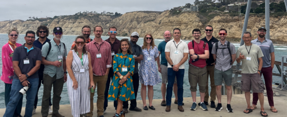
The 2026 WebCOOS Workshop convened in person on July 21-22, 2026 in La Jolla, CA. 45 attendees representing all 11 IOOS Regional Associations and national partners joined this collaborative workshop to discuss webcam-derived coastal products, stakeholder needs, and the network's transition into its next phase under IRA T2.

SET Webinar Series: Exploring Coastal Change: Digital Coast Resources
Join us on August 28, 2026, from 1:00 - 2:00 PM for the SECOORA SET Webinar Series, where we will explore coastal change using NOAA's Digital Coast resources. This webinar will bring together SET Community of Practice members and partners to learn how geospatial data and tools can support SET monitoring and place site-level observations within a broader landscape context.
SECOORA Hosts the Second Surface Elevation Table (SET) Community of Practice Workshop In Person in Charleston
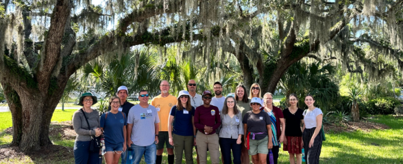
The 2nd SECOORA SET Workshop convened in person on July 16-17, 2026 in Charleston, SC. More than 30 Community of Practice members and stakeholders joined this collaborative workshop to discuss SET monitoring, coastal resilience, and data-driven decision making in the Southeast.