

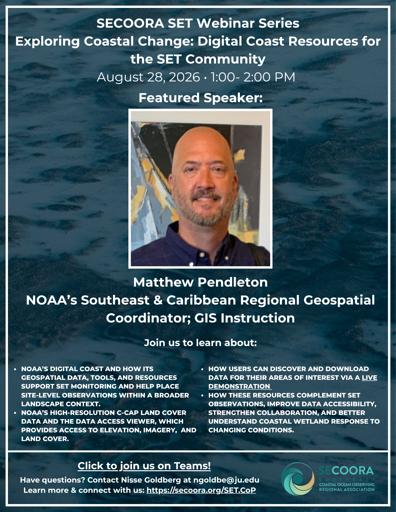
SECOORA’s Surface Elevation Table Community of Practice (SET CoP) will host an upcoming webinar on August 28, 2026, from 1:00 – 2:00 PM ET, focusing on exploring coastal change with NOAA’s Digital Coast resources. This session is part of the SECOORA SET Webinar Series and will highlight how geospatial data and tools can support SET monitoring and place site-level observations within a broader landscape context.
The webinar will feature Matthew Pendleton, NOAA’s Southeast & Caribbean Regional Geospatial Coordinator, who will introduce Digital Coast and demonstrate how its resources support the SET community.
Speakers
- Matthew Pendleton, Southeast & Caribbean Regional Geospatial Coordinator; GIS Instruction, NOAA
Topics will include:
- NOAA’s Digital Coast and how its geospatial data, tools, and resources support SET monitoring and help place site-level observations within a broader landscape context
- NOAA’s high-resolution C-CAP land cover data and the Data Access Viewer, which provides access to elevation, imagery, and land cover
- A live demonstration of how users can discover and download data for their areas of interest
- How these resources complement SET observations, improve data accessibility, strengthen collaboration, and better understand coastal wetland response to changing conditions
Questions can be directed to Nisse Goldberg at ngoldbe@ju.edu.
Related news

Above the High Tide: Water Level Sensors on the Front Line
SECOORA's Southeast Water Level Network has installed 100+ sensors across the Carolinas, Georgia, and Florida, giving communities real-time flood data.

SECOORA is Hiring a Grants Manager
SECOORA is hiring a Grants Manager to lead grant and subaward management across a four-state coastal ocean observing network. Based in the Southeast US. Apply now.

Meet the new 2026 SECOORA Board Members
SECOORA welcomes three new members to its Board of Directors, effective July 1, 2026 - bringing fresh expertise in marine science, coastal geomorphology, and ecosystem restoration to guide our work across the Southeast.