News

News
March 14, 2022
Dr. Greg Dusek joins SECOORA for a four-month assignment
Dr. Greg Dusek, Chief Scientist for the NOAA Center for Operational Oceanographic Products and Services (CO-OPS), will be joining SECOORA for a four-month-long detail as a part of NOAA’s Leadership Competencies Development Program.
News
March 4, 2022
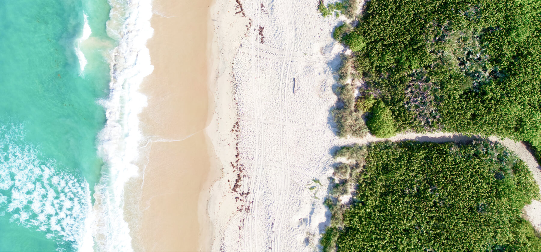
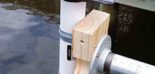
SECOORA Funds a New Water Level Network
SECOORA is funding a network of low-cost water level sensors across the southeast to develop the next generation of coastal observing systems at the scale where people live and make decisions.
News
January 18, 2022
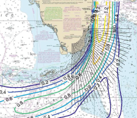
Webinar | Initial Results: Predicting High Cross-Currents Near South Florida Ports Using Machine Learning
The webinar on 1/25 at noon ET will overview the initial results of a prototype machine learning algorithm being developed to predict the probability of high cross-currents near Port of Miami. Click here to reserve your spot.
News
January 5, 2022
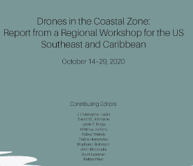
Regional Partners Publish “Drones in The Coastal Zone” Workshop Report
The final report is now available for the Drones in the Coastal Zone virtual workshop held in October 2020. Download the workshop report.
News
January 4, 2022
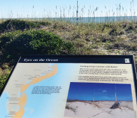
New High Frequency Radar Station in Myrtle Beach State Park Deployed by University of South Carolina
The new HF radar system was installed to close a gap in HF Radar coverage between Caswell Beach, NC and Georgetown, SC.
News
December 13, 2021
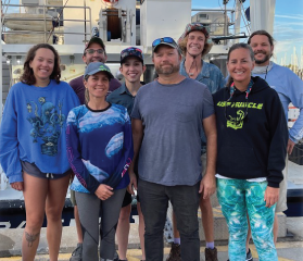
Research Cruise in Gulf of Mexico Collecting Data for Red Tide Circulation Modeling
During the cruise, scientists took nutrient and Red Tide (Karina brevis) water samples from 10 locations, conducted 7 CTD (Conductivity, Temperature, and Depth) sensor casts, and deployed bottom mounted sensor packages. The team also deployed one surface drifter for circulation model verification. Five research training dives, including night dives, were completed so that new scientific divers are trained and ready...
News
December 10, 2021
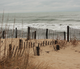
Installing Web Cameras in the Community as part of WebCOOS
Currituck County (North Carolina) will be one of the first U.S. coastal communities to install web cameras as part of the SECOORA led program, WebCOOS.
News
November 24, 2021
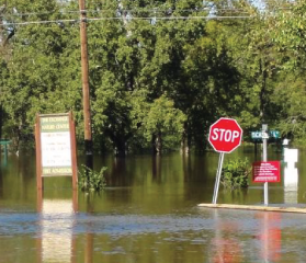
Improving the Flood Response with Unmanned Aerial Vehicles and Satellite Imagery
A new project will use Unmanned Aerial Vehicle imagery, satellite imagery, and machine learning methods to develop a more accurate and georeferenced 3D flood extent model. Emergency Managers will be able to identify locations where emergency services are most critical just after a flood event.
News
October 21, 2021
IOOS at the St. Petersburg Science Festival
For the 11th consecutive year, GCOOS and SECOORA collaborated to bring IOOS and ocean observing to the St. Petersburg Science Festival.
News
October 12, 2021
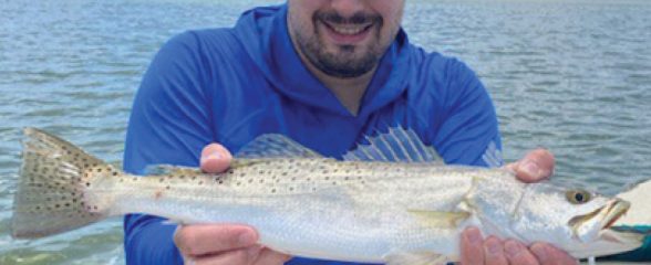
Webinar | It’s hot! How temperature is impacting Spotted Seatrout and seagrass in Florida Bay
Jonathan will present preliminary results from a study investigating how temperature drives Spotted Seatrout space use within Florida Bay on October 26 at 12 PM ET. Click here to reserve your spot.